Site Plans & Permit Drawings for Holden Beach Projects.
Site plans and permit drawing packages for Holden Beach, North Carolina. Holden Beach maintains a certified CAMA land-use plan and has a local permit officer for applicable coastal development approvals. We help organize dimensioned drawings for the actual site and proposed work.
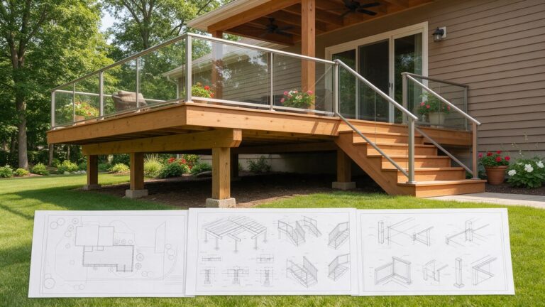
Images in this guide include AI-generated illustrations from Magnific. They are examples of building types, not photos of completed projects in Holden Beach.
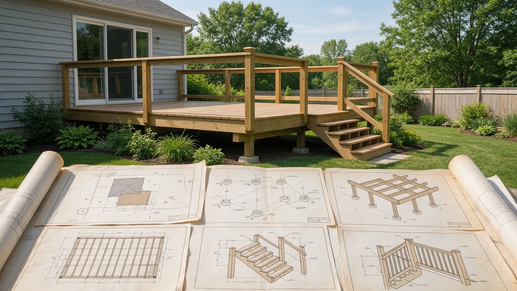
Find drawings that fit your Holden Beach property.
Barrier-island properties can need site-specific floodplain elevations, stormwater and shoreline buffer or dune information; these must be checked against current property evidence. We coordinate the Holden Beach property placement and construction plan documents without representing generic plans as accepted government approvals. The proposed site, reviewer and actual building work determine which sheets belong in the application.
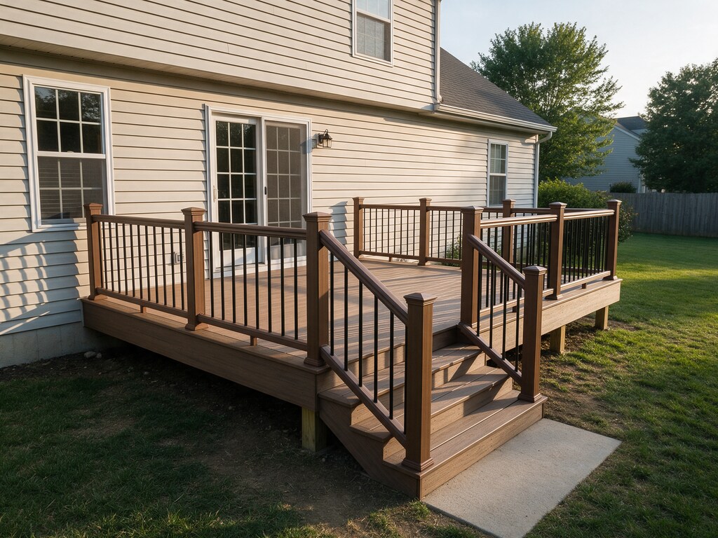
Deck and screened-porch site plans
Holden Beach permit scope: Site placement and framing details for decks, porches and steps. Confirm the Brunswick parcel location and applicable reviewer requirements.
Explore Deck and screened-porch site plans
New-house construction drawing packages
Holden Beach permit scope: Coordinated site, architectural and selected construction drawings for new homes. Confirm the Brunswick parcel location and applicable reviewer requirements.
Explore New-house construction drawing packages
Grading, drainage and civil site plans
Holden Beach permit scope: Grading concepts, ground elevations, drainage paths and site surface changes. Confirm the Brunswick parcel location and applicable reviewer requirements.
Explore Grading, drainage and civil site plans
Site plans and lot placement
For Holden Beach: Holden Beach maintains a certified CAMA land-use plan and has a local permit officer for applicable coastal development approvals. We map the proposed improvement to reliable parcel dimensions and easements.
Explore Site plans and lot placement
Structural plans and details
For Holden Beach work, Dimensioned Deck and screened-porch site plans layout, existing building footprint and access Framing, footings and engineering are scoped separately if the review calls for them.
Explore Structural plans and details
Garages and carports
In Holden Beach, show the proposed garage or carport position and access. Holden Beach maintains a certified CAMA land-use plan and has a local permit officer for applicable coastal development approvals.
Explore Garages and carportsChoose the right local review path.
Holden Beach permit planning starts with the actual property and the responsible review office. Holden Beach maintains a certified CAMA land-use plan and has a local permit officer for applicable coastal development approvals. Final checklist selection remains with the reviewing authority.
Holden Beach maintains a certified CAMA land-use plan and has a local permit officer for applicable coastal development approvals.
Town guidance ↗Barrier-island properties can need site-specific floodplain elevations, stormwater and shoreline buffer or dune information; these must be checked against current property evidence.
Town guidance ↗For a deck, covered porch or new home, coordinate the survey, proposed roof footprint and grade-sensitive foundation drawings with the relevant Town and state review steps.
Town guidance ↗Review the Holden Beach parcel for current CAMA, mapped flood elevation, shoreline, dune, wetland or stormwater requirements only where its actual location and project work make those rules applicable. An illustration does not certify site compliance.
Town guidance ↗Holden Beach permit scope: Site placement and framing details for decks, porches and steps. Confirm the Brunswick parcel location and applicable reviewer requirements.
Drawing scope ↗
Show the proposed work. Keep boundaries accurate.
Start with your parcel address in Brunswick, the available boundary survey and the project size. Holden Beach maintains a certified CAMA land-use plan and has a local permit officer for applicable coastal development approvals. Mark existing house corners, driveways, easements and new roof or ground-cover areas on a drawing scaled to the supplied measurements.
For the proposed Grading, drainage and civil site plans scope, share any current permit checklist or official feedback. Barrier-island properties can need site-specific floodplain elevations, stormwater and shoreline buffer or dune information; these must be checked against current property evidence. Existing and proposed plans should identify changed walls, exterior connections, parking and utilities, and any regulated design or certified surveying needs should be contracted separately.
- Use available survey or plat dimensions and show the proposed footprint.
- Record easements and property setbacks from reliable sources.
- Separate draftable site graphics from legally certified boundaries.
Four questions to answer before we draw.
Holden Beach permit planning starts with the actual property and the responsible review office. Holden Beach maintains a certified CAMA land-use plan and has a local permit officer for applicable coastal development approvals.
Identify Holden Beach land-use jurisdiction
Holden Beach maintains a certified CAMA land-use plan and has a local permit officer for applicable coastal development approvals.
Select the right application and site-plan level
Barrier-island properties can need site-specific floodplain elevations, stormwater and shoreline buffer or dune information; these must be checked against current property evidence.
Coordinate applicable construction and site reviews
For a deck, covered porch or new home, coordinate the survey, proposed roof footprint and grade-sensitive foundation drawings with the relevant Town and state review steps.
Are any flood, stormwater or CAMA approvals triggered?
For Holden Beach, verify the mapped flood zone, shore or stream setting, land disturbance and adopted coastal rules for this exact lot; the Town and relevant County may have separate application steps.
Prepare the relevant records. Holden Beach property address and Brunswick survey/parcel information · Dimensioned Deck and screened-porch site plans layout, existing building footprint and access · Recorded easements, zoning setbacks and proposed paving or grade impacts. Survey and licensed professional services are separate when required.
Get a document review ↗Check property conditions before finalizing placement.
Local land-use review in Holden Beach: Holden Beach maintains a certified CAMA land-use plan and has a local permit officer for applicable coastal development approvals.
Documentation expectations for Holden Beach: Barrier-island properties can need site-specific floodplain elevations, stormwater and shoreline buffer or dune information; these must be checked against current property evidence. For a deck, covered porch or new home, coordinate the survey, proposed roof footprint and grade-sensitive foundation drawings with the relevant Town and state review steps.
Example Holden Beach permit drawing package and site-plan sheet list
Barrier-island properties can need site-specific floodplain elevations, stormwater and shoreline buffer or dune information; these must be checked against current property evidence. A garage, home addition or commercial project in Holden Beach may need different site, architectural, structural and affected trade sheets.
Holden Beach submissions should be scoped against the published review guidance. Barrier-island properties can need site-specific floodplain elevations, stormwater and shoreline buffer or dune information; these must be checked against current property evidence. A garage, home addition or commercial project in Holden Beach may need different site, architectural, structural and affected trade sheets. Survey certification, regulated design and permit decisions are separate.
Request your sheet list ↗Take a closer look at the information your plans need.
Barrier-island properties can need site-specific floodplain elevations, stormwater and shoreline buffer or dune information; these must be checked against current property evidence. A garage, home addition or commercial project in Holden Beach may need different site, architectural, structural and affected trade sheets. The gallery contains representative drawing imagery and AI-generated Magnific illustrations; it is not a portfolio of completed projects in Holden Beach.
Request a sample that matches your proposed Holden Beach project type. We share client documents only where permission and privacy safeguards allow it.
From your Holden Beach property details to organized drawings.
Share what you plan to build
Tell us the exact Holden Beach property address, size of the proposed project, available survey/plat and any current municipal or Brunswick review comments. For a deck, covered porch or new home, coordinate the survey, proposed roof footprint and grade-sensitive foundation drawings with the relevant Town and state review steps.
Confirm the Holden Beach permit route
Holden Beach permit planning starts with the actual property and the responsible review office. Holden Beach maintains a certified CAMA land-use plan and has a local permit officer for applicable coastal development approvals.
Review the drawing scope
Review the Holden Beach drawings for Inspection and approval coordination and coordinate the current plan set before final revisions.
Receive your project files
Receive your agreed PDF package and optional CAD files for Holden Beach. Review the Holden Beach parcel for current CAMA, mapped flood elevation, shoreline, dune, wetland or stormwater requirements only where its actual location and project work make those rules applicable. An illustration does not certify site compliance. Permit acceptance remains a government decision.
Explore permit drawing services for Holden Beach projects.
Permit drawing services for Holden Beach properties and development proposals Barrier-island properties can need site-specific floodplain elevations, stormwater and shoreline buffer or dune information; these must be checked against current property evidence. We coordinate the Holden Beach property placement and construction plan documents without representing generic plans as accepted government approvals. For a Holden Beach address, confirm the Town or county permit jurisdiction, plan-review route and project dimensions before ordering extra sheets.
Showing all 28 services
 SITE & CIVILSite Plans & Plot PlansScaled parcel layouts showing existing structures, proposed improvements and setback dimensions.Explore service
 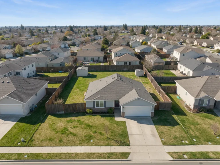 SITE & CIVILResidential Site PlansProperty-focused plans for homes, driveways, outdoor improvements and accessory buildings.Explore service
 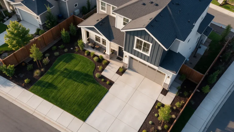 SITE & CIVILDriveway & ParkingDriveway extensions, parking spaces, vehicle access and circulation layouts.Explore service
  SITE & CIVILGrading & DrainageGrading concepts, ground elevations, drainage paths and site surface changes.Explore service
  SITE & CIVILRetaining WallsWall placement, grade transitions and related structural details when required.Explore service
 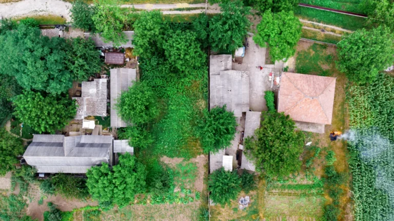 SITE & CIVILLand Planning & SubdivisionsEarly lot layouts, building envelopes, access and subdivision feasibility concepts.Explore service
 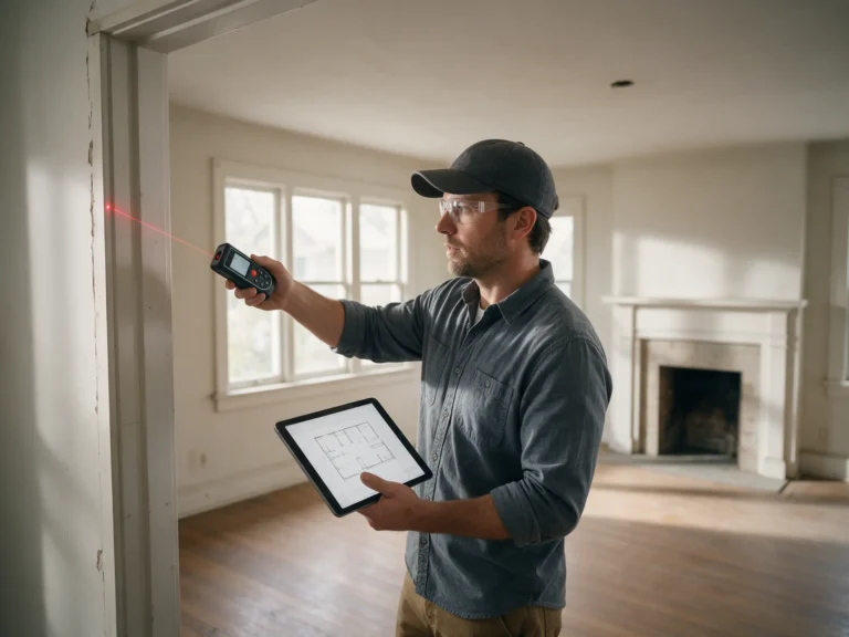 SITE & CIVILAs-Built RedraftingClean CAD plans based on measured conditions, source drawings and marked PDFs.Explore service
  SITE & CIVILPermit CorrectionsFocused plan revisions responding to building department review comments.Explore service
  RESIDENTIAL & OUTDOORNew Home ConstructionCoordinated site, architectural and selected construction drawings for new homes.Explore service
  RESIDENTIAL & OUTDOORHome Addition PlansFloor-area extensions, roof connections, updated layouts and related details.Explore service
  RESIDENTIAL & OUTDOORADU & Garage ConversionsPlanning drawings for garage conversions and accessory living spaces.Explore service
 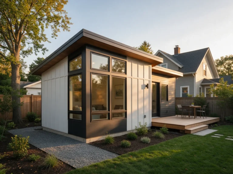 RESIDENTIAL & OUTDOORAddition & ADU PlanningCompare attached additions and detached dwelling options for your property.Explore service
  RESIDENTIAL & OUTDOORManufactured & Modular HomesSite-placement and permit coordination for factory-built or modular residences.Explore service
  RESIDENTIAL & OUTDOORDecks & PorchesSite placement and framing details for decks, porches and steps.Explore service
  RESIDENTIAL & OUTDOORPatio Covers & PergolasPost layouts, shade structures, roof covers and footing details.Explore service
 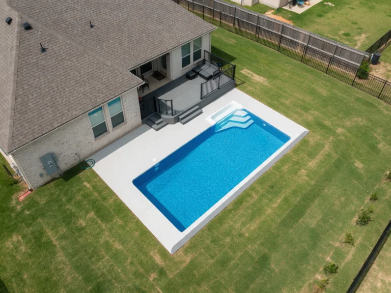 RESIDENTIAL & OUTDOORPools, Patios & PaversPool placement, deck areas, paving and backyard impervious coverage.Explore service
  RESIDENTIAL & OUTDOORFences & GatesFence alignments, gate locations, heights and relevant property clearances.Explore service
 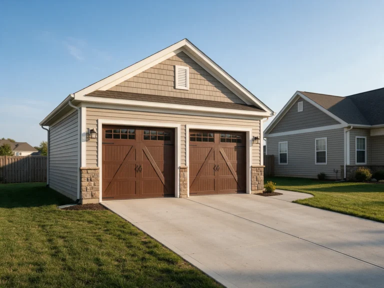 ACCESSORY STRUCTURESGarages & CarportsPlans for garages, covered parking, foundation placement and access.Explore service
  ACCESSORY STRUCTURESSheds & WorkshopsAccessory storage and workshop layouts, dimensions and construction details.Explore service
  ACCESSORY STRUCTURESAccessory Structure PlanningExplore garage, shed and carport options for the available lot.Explore service
 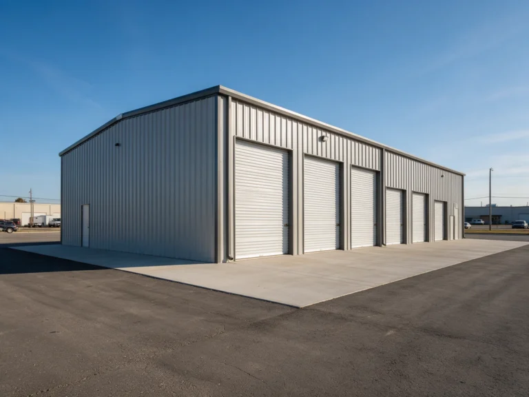 ACCESSORY STRUCTURESMetal BuildingsMetal building placement, framing coordination and foundation information.Explore service
  ACCESSORY STRUCTURESPole BarnsPost-frame storage, workshop and rural building plans.Explore service
  TECHNICAL & COMMERCIALFull Permit Drawing SetsCoordinated floor plans, elevations, building sections and required discipline sheets.Explore service
  TECHNICAL & COMMERCIALStructural Plans & CalculationsFraming plans, foundations, connections and calculations when included.Explore service
  TECHNICAL & COMMERCIALMEP Permit DrawingsMechanical, electrical and plumbing layouts for affected building systems.Explore service
  TECHNICAL & COMMERCIALEngineer Review & SealingCoordination of licensed professional review and sealing when appropriate.Explore service
 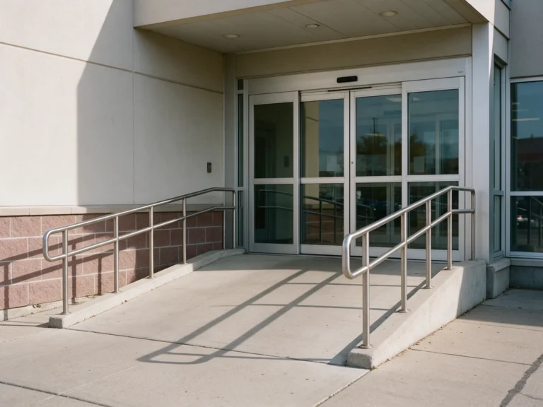 TECHNICAL & COMMERCIALCommercial ADA & Life SafetyLife-safety, egress, accessibility and code drawing support.Explore service
  TECHNICAL & COMMERCIALCommercial Tenant ImprovementsTenant build-outs, interior alterations and change-of-use drawings.Explore service
 Frequently asked Holden Beach permit plan questions
These answers refer to published Holden Beach guidance and the project types discussed on this page. Confirm current requirements for your individual parcel with the relevant authority.
Ask about your Holden Beach project ↗Which authority reviews my Holden Beach building site plan?
Holden Beach maintains a certified CAMA land-use plan and has a local permit officer for applicable coastal development approvals. The applicant should verify the current municipal and applicable county jurisdiction for the exact address and permit category.
What supporting documents should accompany Deck and screened-porch site plans?
Barrier-island properties can need site-specific floodplain elevations, stormwater and shoreline buffer or dune information; these must be checked against current property evidence. Provide a scaled survey-supported exhibit, existing and proposed dimensions and the current reviewer checklist; additional architectural or structural sheets are separately scoped.
Does a Holden Beach zoning approval also cover building inspections?
For a deck, covered porch or new home, coordinate the survey, proposed roof footprint and grade-sensitive foundation drawings with the relevant Town and state review steps. Zoning and construction-code approvals serve different purposes; follow the actual permit instructions rather than treating one as approval for every other review.
Does every Holden Beach property require CAMA or flood-elevation drawings?
No. Coastal, flood and stormwater rules depend on the mapped Holden Beach lot and intended work. The responsible Town, County or state authority determines required permits, and certified survey or licensed engineering can be additional services.
Is a drafted site plan the same as a boundary survey in Holden Beach?
No. For a Holden Beach project, use Holden Beach property address and Brunswick survey/parcel information as a starting point, then confirm boundary evidence and setbacks. We prepare drawings but do not establish or certify boundaries; a North Carolina licensed surveyor must do that.
Who decides if my Holden Beach permit plans are acceptable?
Review the Holden Beach official planning or permit resource instructions for this Holden Beach project. Approval remains with the applicable regulator, and any professional seals or licensed design are separate unless specifically arranged.
Ready to plan your Holden Beach project?
Tell us the exact Holden Beach property address, size of the proposed project, available survey/plat and any current municipal or Brunswick review comments. For a deck, covered porch or new home, coordinate the survey, proposed roof footprint and grade-sensitive foundation drawings with the relevant Town and state review steps.
Useful project information
- Holden Beach survey or recorded plat and correct jurisdiction
- Dimensioned Deck and screened-porch site plans layout, existing building footprint and access
- Current municipal/County plan-review comments and relevant checklist
- Actual Holden Beach property address and any available survey or recorded plat
Site Plans NC is operated by Site Plans LLC. We provide remote drawing and professional-review coordination; this page does not represent a Town office or a physical office in Holden Beach.
Request a Holden Beach plan quote
No payment is required to submit an initial request.
Planning outside Holden Beach?
Properties near Holden Beach may be reviewed by other municipalities or county departments in Brunswick. Use the recorded parcel and applicable zoning boundary to choose the correct reviewer.
 NORTH CAROLINA PERMIT GUIDECaswell BeachCaswell Beach zoning, Carteret/Brunswick coastal permits and drawing scopeExplore Caswell Beach guide
 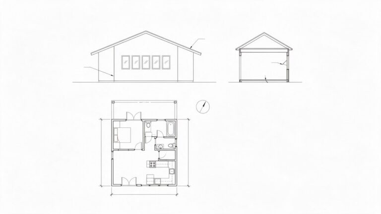 NORTH CAROLINA PERMIT GUIDEBoiling Spring LakesBoiling Spring Lakes zoning, Carteret/Brunswick coastal permits and drawing scopeExplore Boiling Spring Lakes guide
  NORTH CAROLINA PERMIT GUIDEOcean Isle BeachOcean Isle Beach zoning, Carteret/Brunswick coastal permits and drawing scopeExplore Ocean Isle Beach guide
  NORTH CAROLINA PERMIT GUIDESunset BeachSunset Beach zoning, Carteret/Brunswick coastal permits and drawing scopeExplore Sunset Beach guide
 Photographs illustrate possible Holden Beach project types such as Deck and screened-porch site plans; they are not claims of local completed client projects. View all North Carolina locations ↗