Site plan or survey?
Know the difference.
Understand what a site plan can show, what certified land surveying does, and when a municipality might require one or both.
A site drawing and a survey are not interchangeable.
Both may show a lot boundary, home footprint and dimensions. The distinction is who establishes or certifies the property information and what the drawing is intended to prove.
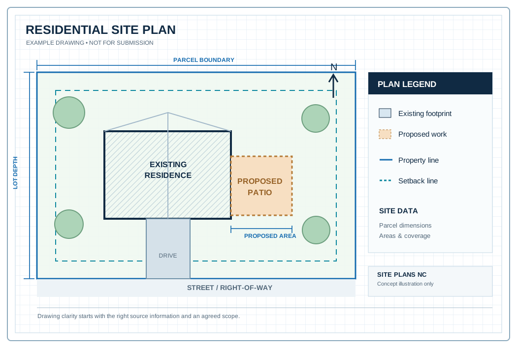
A site plan for permitting depicts existing and proposed development on a parcel. It may be prepared using suitable existing property documents, but the drafter does not independently establish or certify boundary corners.
A boundary survey is professional surveying work. A North Carolina licensed professional land surveyor establishes or documents property boundary information under the applicable surveying standards and scope.
Even a visually polished, dimensioned site plan is not a substitute for a certified survey when the authority requires one.
How the two documents differ.
Site plan
- Explains the existing and proposed property layout
- Often includes buildings, access and proposed work
- May include setbacks and coverage calculations
- Based on reliable source documents appropriate to scope
- Used to communicate application site information
Boundary survey
- Documents measured parcel and boundary information
- May identify legal monumentation, easements and markers
- Prepared and certified by a licensed land surveyor
- Supports location accuracy when professional verification is required
- Does not automatically depict your new planned deck or addition
How both might be used together.
Existing survey, proposed drawing.
Suppose you want to build a porch on a lot that has an existing signed survey. You provide the survey and the proposed porch dimensions. A supplemental site drawing can place the proposed footprint on the site representation if permitted by local instructions.
- The survey supplies professional boundary data within its stated scope.
- The site-plan drafter shows the proposed work and relevant application notes.
- The city decides whether that combination is sufficient for the particular permit.
Do you need a new survey?
What does the city request?
Review the specific permit checklist for a surveyor-sealed plot, existing survey or alternative site documentation.
Is the old survey adequate?
Look at date, covered improvements, missing areas and whether the jurisdiction requires updated certified information.
Is boundary location disputed?
If legal corners or property lines are uncertain, a licensed surveyor is the right professional to consult.
How Site Plans NC approaches existing survey files.
We can incorporate suitable supplied boundary information in a proposed-work site plan, without changing the surveyor’s professional certification or claiming to relocate boundary markers. Separately required surveying is not included in a basic drafting quote.
Read the NC permit plan guide ↗Have an actual site-plan request?
Tell us the city or county, project size and what property documents you have. We’ll clarify the right drawing scope.