North Carolina.
One clear starting point.
From the Triangle to the Charlotte region and beyond, we help prepare property-specific site-plan drawings while recognizing that local permit requirements differ.
Site Plans NC is operated by Site Plans LLC.
Explore North Carolina city and town permit guides.
Currently featuring 304 detailed city and town guides, with additional county and community guides planned in verified batches. Each page explains its own permit authority, local documentation questions and drawing scope. Choose a location below or send your exact property address.
Raleigh
Site-plan information for additions, decks and accessory improvements.
Explore Raleigh site plans ↗
Charlotte
Identify City of Charlotte and Mecklenburg County review requirements.
Explore Charlotte site plans ↗
Durham
Plot-plan questions for footprint changes, accessory buildings and residential permits.
Explore Durham site plans ↗
Greensboro
Review requirements for new houses, outside-footprint additions and accessory buildings.
Explore Greensboro site plans ↗
Winston-Salem
Understand scaled survey/site plan inputs for electronic residential permitting.
Explore Winston-Salem site plans ↗
Fayetteville
Distinguish zoning site sketches from separate building and subdivision reviews.
Explore Fayetteville site plans ↗
Wilmington
Coordinate City zoning with New Hanover County building permit documentation.
Explore Wilmington site plans ↗
Asheville
Review residential permit paths and possible grade, flood or steep-slope issues.
Explore Asheville site plans ↗
Cary
Cary SPOT review, residential plot plans and lot coverage.
Explore Cary site plans ↗
Apex
Apex IDT permit checklists, additions and impervious area.
Explore Apex site plans ↗
Wake Forest
Wake Forest scaled site-plan, driveway and watershed guidance.
Explore Wake Forest site plans ↗
Holly Springs
Holly Springs pool, deck, patio and CityView permit planning.
Explore Holly Springs site plans ↗
Fuquay-Varina
Fuquay-Varina garage, deck and online E-Permits guidance.
Explore Fuquay-Varina site plans ↗
Garner
Garner SmartGov, zoning, engineering and inspections.
Explore Garner site plans ↗
Morrisville
Morrisville e-Permits, tenant improvements and site access.
Explore Morrisville site plans ↗
Knightdale
Knightdale site plans and Town / Wake County permit roles.
Explore Knightdale site plans ↗Rolesville
Town zoning, GovWell development filings and Wake County building permits.
Explore Rolesville site plans ↗Wendell
Wendell UDO site development and residential permit documentation.
Explore Wendell site plans ↗Zebulon
Town zoning, Wake County inspections and development permits.
Explore Zebulon site plans ↗Clayton
Town versus Johnston County building permit jurisdiction.
Explore Clayton site plans ↗
Chapel Hill
Survey-based site plans, impervious coverage and resource buffers.
Explore Chapel Hill site plans ↗
Carrboro
PIPER zoning and building permit coordination.
Explore Carrboro site plans ↗Hillsborough
Town zoning compliance and Orange County building permits.
Explore Hillsborough site plans ↗
Pittsboro
Town site-plan review and Chatham County building inspections.
Explore Pittsboro site plans ↗
Huntersville
Huntersville properties in the Lake Norman area require zoning review tied to the Town’s actual planning jurisdiction, rather than a Charlotte postal…
Explore Huntersville site plans ↗
Cornelius
Cornelius publishes a Land Development Code and zoning map that distinguishes its Town limits, ETJ, residential districts and conditional overlays.
Explore Cornelius site plans ↗Davidson
Davidson uses a Planning Ordinance with mapped planning areas rather than relying solely on conventional district names; the Town provides a planning…
Explore Davidson site plans ↗
Matthews
Matthews Planning and Development evaluates building placement, parking lot arrangement, landscape areas and compliance with zoning during its land-u…
Explore Matthews site plans ↗Mint Hill
Mint Hill land-use approval relies on the applicable Town zoning and property restrictions; Mecklenburg County handles building, electrical, mechanic…
Explore Mint Hill site plans ↗Pineville
Pineville publishes distinct Class I through Class V site-plan review categories, including small residential work and larger commercial expansions.
Explore Pineville site plans ↗Concord
Concord explicitly describes City zoning clearance and Cabarrus County construction permitting as a combined electronic plan-review workflow.
Explore Concord site plans ↗Kannapolis
Kannapolis directs development applications to Accela and publishes separate residential zoning, accessory addition, driveway, grading and commercial…
Explore Kannapolis site plans ↗Harrisburg
Harrisburg Planning and Zoning maintains a UDO, current planning applications and development guidance for commercial and residential land-use propos…
Explore Harrisburg site plans ↗Monroe
Monroe's Unified Development Code describes zoning permits, site and development plans, conditional zoning, subdivision plats and distinct design app…
Explore Monroe site plans ↗
Indian Trail
Indian Trail's EVOLVE portal lists specific residential services, accessory apartments, driveway expansions, new homes and physical survey requests.
Explore Indian Trail site plans ↗Waxhaw
Waxhaw maintains its own Building Inspections and Permitting team that administers applicable North Carolina building codes and accepts permit submis…
Explore Waxhaw site plans ↗Stallings
Stallings Planning issues zoning permits and carries out final zoning inspections for additions, accessory structures, renovations and new projects.
Explore Stallings site plans ↗Weddington
Weddington explicitly requires Town zoning approval before a property owner obtains a Union County building permit for new construction.
Explore Weddington site plans ↗
Belmont
Belmont, North Carolina is in Gaston County; its municipal land-use standards should not be confused with the similarly named city in California.
Explore Belmont site plans ↗Mount Holly
Mount Holly's municipal Zoning Code and Code of Ordinances include current land-usage regulations; official maps and City staff should resolve parcel…
Explore Mount Holly site plans ↗Gastonia
Gastonia uses CityView for zoning and development intake, while Gaston County has issued construction permits since the City's process change in Augu…
Explore Gastonia site plans ↗Mooresville
Mooresville operates its own Building Permitting and Inspections Department, with an integrated online workflow for work inside the Town and its extr…
Explore Mooresville site plans ↗Statesville
Statesville participates in the Iredell County Citizen Self-Service permitting platform, allowing plan uploads, fee payments and inspection requests.
Explore Statesville site plans ↗High Point
High Point's Inspections Services Department provides City plan review and code inspections; BuildHighPoint and Accela Citizen Access manage several …
Explore High Point site plans ↗Kernersville
Kernersville requires ViewPoint for permits, plan reviews and inspection requests for residential and business work.
Explore Kernersville site plans ↗
Burlington
BurlingtonSmart is the City's online permit portal for application tracking, fees and building inspections.
Explore Burlington site plans ↗
Mebane
Mebane describes fence plot-plan submissions that show alignment, distances to lot lines, height and proposed materials.
Explore Mebane site plans ↗
Graham
Graham says a site plan should be approved before buildings, structures or parking facilities are constructed or extended.
Explore Graham site plans ↗Elon
Elon Planning publishes a schedule for rezonings, conditional cases, special-use applications and Technical Review Committee reviews.
Explore Elon site plans ↗
Gibsonville
Gibsonville Planning describes separate zoning approvals for residences, business alterations, signs, pools, driveways and modular housing.
Explore Gibsonville site plans ↗Thomasville
Thomasville's municipal Planning and Community Development department offers online applications for permits and development projects.
Explore Thomasville site plans ↗Lexington
Lexington's Build Lexington portal handles construction and development applications, plan uploads, payments and inspection tracking.
Explore Lexington site plans ↗Clemmons
Clemmons administers its UDO for land use, environmental review, subdivisions and zoning within Village boundaries.
Explore Clemmons site plans ↗Summerfield
Summerfield requires an approved Development Clearance Certificate before applying for relevant building permits with Guilford County.
Explore Summerfield site plans ↗Jacksonville
Jacksonville Planning and Inspections publishes separate building and trade permit checklists and development-plan application materials for work in the C…
Explore Jacksonville site plans ↗New Bern
New Bern’s municipal GIS publishes a building-permit layer covering the City and its extraterritorial jurisdiction, allowing applicants to research their …
Explore New Bern site plans ↗Greenville
Greenville Inspections provides municipal building permits, while City Engineering manages separate land-disturbing and right-of-way excavation permits.
Explore Greenville site plans ↗Rocky Mount
Rocky Mount Inspections issues permits and conducts inspections within the City and its ETJ using the Citizen Self-Service portal.
Explore Rocky Mount site plans ↗
Wilson
Wilson has an application portal for permit and zoning requests, while its Construction Standards division reviews residential and commercial building pla…
Explore Wilson site plans ↗Goldsboro
Goldsboro residential and commercial proposals should be checked against the City's land-use planning jurisdiction and current permits information.
Explore Goldsboro site plans ↗Kinston
Kinston proposals need site-specific zoning and building-code coordination rather than assuming all Lenoir County properties use the same review office.
Explore Kinston site plans ↗Washington
Washington lies on the Pamlico River and supports municipal development review for new construction and alterations in its jurisdiction.
Explore Washington site plans ↗Tarboro
Tarboro development work should start with its Town zoning and the property’s recorded lot boundaries, not a generic Edgecombe County building-sketch assu…
Explore Tarboro site plans ↗Elizabeth City
Elizabeth City land-use and site-plan proposals should be checked within the correct City and Pasquotank County planning boundaries.
Explore Elizabeth City site plans ↗Morehead City
Morehead City's zoning division reviews UDO use, lot coverage, setbacks, height, parking and landscaped-area requirements inside the City and its extrater…
Explore Morehead City site plans ↗Beaufort
Beaufort's Town Building Permits page offers an online Customer Web Portal for permit submittal, drawing uploads, payments and inspection status.
Explore Beaufort site plans ↗Havelock
Havelock Planning and Inspections accepts completed PDF permit applications by email and provides zoning and flood documentation through its official site.
Explore Havelock site plans ↗Swansboro
Swansboro's Town planning and zoning requirements apply to development within its actual jurisdiction and should be distinguished from unincorporated Onsl…
Explore Swansboro site plans ↗Surf City
Surf City requires most construction, grading, clearing and changes of use to be submitted through the Town's online OpenGov permitting system, with disti…
Explore Surf City site plans ↗Leland
Leland Planning and Inspections administers zoning, flood-damage prevention, building permits and inspections through Town departments.
Explore Leland site plans ↗Southport
Southport site-plan requests should be assessed against the City's own zoning and building review rather than using only Brunswick County's unincorporated…
Explore Southport site plans ↗Oak Island
Oak Island's permit portal supports zoning, residential alteration, fence, driveway and accessory-structure permit submissions and document attachments.
Explore Oak Island site plans ↗Carolina Beach
Carolina Beach building projects need to reconcile Town zoning, lot coverage, floodplain requirements and coastal-area rules with the actual parcel survey.
Explore Carolina Beach site plans ↗Kure Beach
Kure Beach Development and Compliance publishes separate applications for new residential buildings, sheds, driveway/hardscaping, fill/grade/clearing, fen…
Explore Kure Beach site plans ↗Wrightsville Beach
Wrightsville Beach Planning and Inspections issues zoning, building and CAMA minor permits and provides inspections through Town review services.
Explore Wrightsville Beach site plans ↗Burgaw
Burgaw land-use decisions should start with Town zoning and existing subdivision records rather than defaulting to Pender County's unincorporated zoning s…
Explore Burgaw site plans ↗Wallace
Wallace serves properties in Duplin and Pender counties, so a mailing address alone cannot determine the County building or environmental reviewers.
Explore Wallace site plans ↗Clinton
Clinton zoning review for a new house, outbuilding or business modification depends on the parcel's City zoning district and municipal boundaries.
Explore Clinton site plans ↗Lumberton
Lumberton proposed building placement should account for the City's zoning review, property surveys and applicable construction inspection pathway.
Explore Lumberton site plans ↗Hope Mills
Hope Mills Planning administers residential and commercial rezonings, subdivisions, variances and development-review applications under its Town zoning or…
Explore Hope Mills site plans ↗Southern Pines
Southern Pines enforces its Unified Development Ordinance through Town planning and building inspections inside municipal limits and the ETJ.
Explore Southern Pines site plans ↗Pinehurst
Pinehurst Planning uses an Accela Permit Center for zoning, site-plan, conditional use, subdivision and Certificate of Appropriateness applications.
Explore Pinehurst site plans ↗Aberdeen
Aberdeen construction projects should begin with Town zoning and the established lot survey, with building-code jurisdiction verified for the specific pro…
Explore Aberdeen site plans ↗Shallotte
Shallotte's Town planning jurisdiction includes areas with new commercial development, subdivisions and established residential lots that need different s…
Explore Shallotte site plans ↗Hendersonville
Hendersonville's online Planning and Zoning Portal accepts zoning compliance, site plan, subdivision, variance and historic-certificate applications; t…
Explore Hendersonville site plans ↗Fletcher
Fletcher is a Henderson County municipality where Town zoning and development rules must be checked before preparing a new building footprint or commer…
Explore Fletcher site plans ↗Mills River
Mills River zoning applications must account for Town land-development standards and the recorded district for the exact parcel, rather than relying on…
Explore Mills River site plans ↗Weaverville
Weaverville adopted an updated Comprehensive Land Use Plan in April 2026 and separately administers planning and development ordinances affecting the T…
Explore Weaverville site plans ↗Black Mountain
Black Mountain property plans should reference the Town's development ordinance and the actual lot zoning rather than using a generic Buncombe County s…
Explore Black Mountain site plans ↗Woodfin
Woodfin has its own municipal zoning and development jurisdiction and should not automatically be treated as an unincorporated Asheville property.
Explore Woodfin site plans ↗Biltmore Forest
Biltmore Forest is an incorporated town with locally administered planning, zoning and architectural oversight; its estate-style lots are not governed …
Explore Biltmore Forest site plans ↗Brevard
Brevard's municipal land-use and site-development rules must be checked for a property within City limits; a Transylvania County postal address does no…
Explore Brevard site plans ↗Waynesville
Waynesville Building Inspections administers building-code permitting inside its jurisdiction and requires a land-development zoning permit before regu…
Explore Waynesville site plans ↗Canton
Canton is a Haywood County municipality with separate Town planning considerations and parcel development conditions; it should not automatically use W…
Explore Canton site plans ↗Boone
Boone requires zoning and building review for regulated decks, porches and accessory structures; its guidance identifies a UDO Appendix A site plan wit…
Explore Boone site plans ↗Blowing Rock
Blowing Rock publishes its own building, electrical, plumbing, HVAC, fence and zoning permit application forms, so applicants should not assume a neigh…
Explore Blowing Rock site plans ↗Banner Elk
Banner Elk's zoning code addresses district-specific accessory dwelling uses, yard setbacks, building height, lot access and restrictions on developmen…
Explore Banner Elk site plans ↗Newland
Newland is the Avery County seat and has municipal land-use considerations; a Newland mailing address alone does not establish whether Town zoning appl…
Explore Newland site plans ↗Spruce Pine
Spruce Pine development must distinguish Town zoning from Mitchell County property and building-review responsibilities based on the exact location.
Explore Spruce Pine site plans ↗Burnsville
Burnsville property plans should be checked against Town zoning and Yancey County permit responsibilities, with the reviewing jurisdiction selected fro…
Explore Burnsville site plans ↗Marshall
Marshall's French Broad River setting makes flood elevations and drainage particularly relevant on affected parcels, but hazard-zone requirements must …
Explore Marshall site plans ↗Mars Hill
Mars Hill town zoning and land-use review should be checked for any proposed residential addition or commercial reuse within its jurisdiction.
Explore Mars Hill site plans ↗Sylva
Sylva municipal planning and zoning affect development in its limits, while many postal Sylva addresses are in broader Jackson County; check location r…
Explore Sylva site plans ↗Franklin
Franklin administers municipal land-use rules for lots within its boundaries while Macon County records cover the wider Franklin postal region.
Explore Franklin site plans ↗Hickory
Hickory's Permit Center coordinates local development and zoning review through ePermits while Catawba County enforces the State Building Code in Hicko…
Explore Hickory site plans ↗Conover
Conover lists a zoning permit, driveway permit and zoning-map amendment as separate Planning documents and uses the regional Catawba ePermits platform.
Explore Conover site plans ↗Newton
Newton is one of the Catawba County municipalities participating in the shared ePermits platform, but City zoning requirements remain distinct from Cou…
Explore Newton site plans ↗Lenoir
Lenoir municipal zoning and development review should be distinguished from Caldwell County inspection requirements for properties with a Lenoir mailin…
Explore Lenoir site plans ↗Granite Falls
Granite Falls specifically requires a Town zoning permit for new houses, additions, decks, pools, carports, accessory buildings, commercial projects an…
Explore Granite Falls site plans ↗Morganton
Morganton's Development and Design Services reviews municipal zoning, building inspections, infrastructure, stormwater and new residential or commercia…
Explore Morganton site plans ↗
Valdese
Valdese Town planning and zoning rules guide development inside its municipal jurisdiction, while some neighboring Valdese-address lots fall under Burk…
Explore Valdese site plans ↗Marion
Marion's Town zoning standards need to be verified for a property in municipal jurisdiction before selecting the right permit or site-development appli…
Explore Marion site plans ↗Forest City
Forest City land-use decisions and Town zoning requirements affect parcels inside municipal boundaries, while Rutherford County records and permitting …
Explore Forest City site plans ↗Shelby
Shelby's municipal zoning and development requirements should be distinguished from Cleveland County jurisdictions for nearby properties outside City b…
Explore Shelby site plans ↗Kings Mountain
Kings Mountain spans Cleveland and Gaston counties; confirm the actual parcel jurisdiction rather than assuming every mailing address has the same buil…
Explore Kings Mountain site plans ↗Salisbury
Salisbury's Development Services One Stop Shop coordinates zoning, planning, business registration and new utility tap permits using the City's Land De…
Explore Salisbury site plans ↗China Grove
China Grove's Town zoning and land-development rules apply in its municipal planning area; Rowan County records and inspections are separate review res…
Explore China Grove site plans ↗Spencer
Spencer issues separate zoning applications for fences and walls, detached accessory structures, express residential review and general zoning matters.
Explore Spencer site plans ↗Mocksville
Mocksville states that Davie County Development and Facilities Services handles its zoning, permitting and inspections under a contractual arrangement.
Explore Mocksville site plans ↗Albemarle
Albemarle requires a City coordination form for building permit requests so zoning and the Fire Marshal can review the work before it proceeds to Stanl…
Explore Albemarle site plans ↗Locust
Locust requires a City Zoning Compliance Permit before Stanly County or Cabarrus County will issue a building permit for applicable construction.
Explore Locust site plans ↗Mount Pleasant
Mount Pleasant is a Cabarrus County town with municipal planning considerations that should be resolved before applying a countywide residential site-p…
Explore Mount Pleasant site plans ↗Yadkinville
Yadkinville maintains municipal land-use rules for the incorporated Town, while many postal-address lots lie in unincorporated Yadkin County.
Explore Yadkinville site plans ↗Elkin
Elkin spans Surry and Wilkes counties and has its own municipal planning regulations; building and environmental permits must be matched to the parcel'…
Explore Elkin site plans ↗Mount Airy
Mount Airy requires a City Zoning Compliance Permit before Surry County Inspections issues construction permits for regulated building and trade work.
Explore Mount Airy site plans ↗Dobson
Dobson handles its own planning and zoning applications, reviews land development and enforces Town zoning ordinances through its Planning and Zoning f…
Explore Dobson site plans ↗King
King spans Stokes and Forsyth counties; parcel location is essential for identifying the proper County inspection and environmental agencies.
Explore King site plans ↗Pilot Mountain
Pilot Mountain municipal development and zoning review should be checked for property in Town limits and its applicable jurisdiction, rather than defau…
Explore Pilot Mountain site plans ↗Lewisville
Lewisville Town zoning and community development standards guide new construction, subdivision and proposed uses in its municipal jurisdiction.
Explore Lewisville site plans ↗Walkertown
Walkertown municipal land-use standards and planning jurisdiction must be checked against the property before developing a new house or commercial site…
Explore Walkertown site plans ↗Stokesdale
Stokesdale's Town planning standards apply to property within its adopted jurisdiction and should not be mistaken for zoning rules in nearby Greensboro…
Explore Stokesdale site plans ↗Oak Ridge
Oak Ridge town land-use controls and rural or estate lot standards should be checked for subdivision and accessory construction within its jurisdiction.
Explore Oak Ridge site plans ↗Rural Hall
Rural Hall is an incorporated Forsyth County town with its own applicable zoning and development review, rather than simply part of Winston-Salem munic…
Explore Rural Hall site plans ↗North Wilkesboro
North Wilkesboro municipal zoning governs development inside its jurisdiction, while county records and permit offices may apply to surrounding Wilkes …
Explore North Wilkesboro site plans ↗
Oxford
Oxford Planning reviews local zoning, subdivisions and land-use conditions for projects inside its jurisdiction; Granville County manages separa…
Explore Oxford site plans ↗
Henderson
Henderson's City planning rules govern building placement and permitted uses within municipal jurisdiction; nearby Vance County properties can h…
Explore Henderson site plans ↗
Louisburg
Louisburg's local zoning should be checked for land within Town boundaries, while many Louisburg-address parcels lie in unincorporated Franklin …
Explore Louisburg site plans ↗
Franklinton
Franklinton applies its own development and zoning standards to eligible Town parcels while Franklin County provides separate records and permit…
Explore Franklinton site plans ↗
Youngsville
Youngsville planning and zoning approvals depend on Town jurisdiction rather than the mailing city alone, and building review can involve separa…
Explore Youngsville site plans ↗
Butner
Butner Planning and Zoning provides a Town Zoning Permit Portal for new development, accessory additions, signs and new businesses.
Explore Butner site plans ↗
Creedmoor
Creedmoor requires a zoning compliance permit for new construction, new uses or changes of use, and expansion of an existing use in its limits o…
Explore Creedmoor site plans ↗
Roxboro
Roxboro Planning handles all municipal zoning permits while Person County Building Inspections handles building and trade permits on behalf of t…
Explore Roxboro site plans ↗
Yanceyville
Yanceyville's Town land-use and zoning boundary should be checked for a municipal parcel; unincorporated Caswell County sites may follow a diffe…
Explore Yanceyville site plans ↗
Stem
Stem has Town-level planning considerations, while Granville County's inspections and environmental agencies may control separate construction a…
Explore Stem site plans ↗
Reidsville
Reidsville's Community Development portal accepts zoning, building and trade permit applications online and provides inspection status and permi…
Explore Reidsville site plans ↗
Eden
Eden land-use and development rules apply to projects under municipal jurisdiction rather than automatically using Rockingham County's unincorpo…
Explore Eden site plans ↗
Madison
Madison has Town-level planning jurisdiction; Rockingham County notes that applicants inside municipality limits must use the municipality's zon…
Explore Madison site plans ↗
Mayodan
Mayodan Town zoning and local development policies should be checked before using County-wide setbacks for a municipal property.
Explore Mayodan site plans ↗
Stoneville
Stoneville is listed among Rockingham County municipalities that administer relevant Town-level development approvals inside municipal limits.
Explore Stoneville site plans ↗
Wentworth
Rockingham County Planning and Zoning administers planning and zoning for the Town of Wentworth, according to the County's official guidance.
Explore Wentworth site plans ↗
Asheboro
Asheboro Planning and Zoning provides an electronic Development and Permitting Portal and manages zoning, subdivision and long-range land-use ad…
Explore Asheboro site plans ↗
Archdale
Archdale Planning and Zoning distinguishes zoning permits from building permits for fences, above-ground pools, interior renovations and drivewa…
Explore Archdale site plans ↗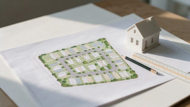
Randleman
Randleman Planning and Zoning publishes permitting resources for municipal land-use approval, separate from the Randolph County central permitti…
Explore Randleman site plans ↗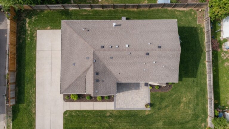
Liberty
Liberty zoning is administered by its Town department, and the Randolph County permitting guide distinguishes Liberty from unincorporated County…
Explore Liberty site plans ↗
Ramseur
Ramseur Town zoning and permitted land uses should be established before requesting a building plot plan or commercial renovation drawings.
Explore Ramseur site plans ↗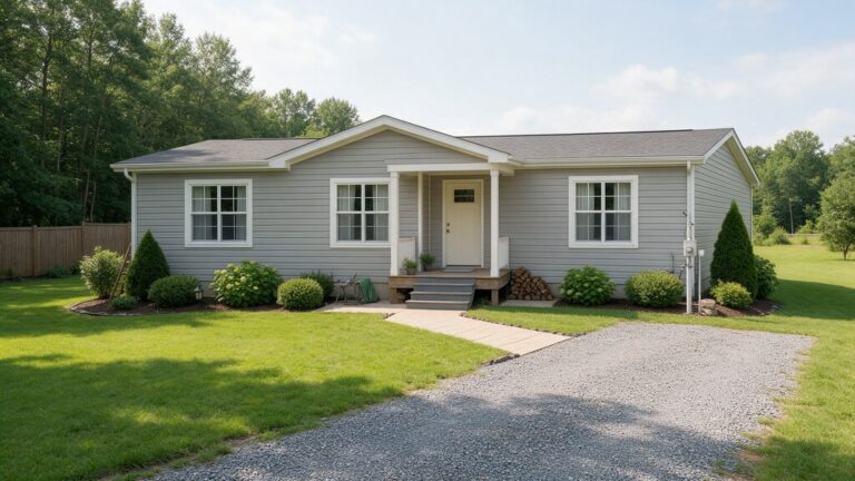
Siler City
Siler City administers local planning and zoning for land within municipal boundaries and should be distinguished from Chatham County's unincorp…
Explore Siler City site plans ↗
Sanford
Sanford municipal development regulations govern zoning and land use for sites in the city and applicable planning jurisdiction.
Explore Sanford site plans ↗
Broadway
Broadway straddles Lee and Harnett County areas, making the actual parcel location essential before choosing County inspections or environmental…
Explore Broadway site plans ↗
Dunn
Dunn regulates land use and development within its municipal jurisdiction, while Harnett County inspection and environmental agencies may be inv…
Explore Dunn site plans ↗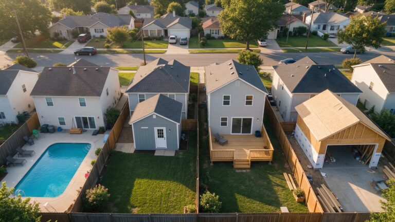
Erwin
Erwin properties require a municipal zoning and land-use check when within Town limits; Harnett County records help establish the parcel and app…
Explore Erwin site plans ↗
Angier
Angier is within the Harnett region and has nearby cross-county growth areas, so parcel jurisdiction should be confirmed rather than inferred fr…
Explore Angier site plans ↗
Lillington
Lillington municipal land-use and zoning regulations can apply to development in Town jurisdiction while County agencies manage their own buildi…
Explore Lillington site plans ↗
Coats
Coats Town zoning and planning regulations govern eligible parcels within its limits, and Harnett County permits may be separately required depe…
Explore Coats site plans ↗
Spring Lake
Spring Lake zoning should be verified for its municipal planning jurisdiction rather than assuming all Fayetteville-area properties use one comm…
Explore Spring Lake site plans ↗
Smithfield
Smithfield Planning maintains the municipal zoning map, future-land-use map and ETJ boundary resources for Town zoning compliance.
Explore Smithfield site plans ↗
Selma
Selma has its own planning and zoning application responsibilities, including changes to site use or building footprint within Town jurisdiction.
Explore Selma site plans ↗
Four Oaks
Johnston County identifies Four Oaks as an exception that issues its own Town building permits and provides municipal services, unlike most neig…
Explore Four Oaks site plans ↗
Benson
Benson Planning manages Town zoning and land-use issues for building location and permitted use, while Johnston County acts as the construction-…
Explore Benson site plans ↗
Princeton
Princeton is among Johnston County's towns where the Town zoning approval comes before the County building-permit process.
Explore Princeton site plans ↗
Kenly
Kenly is listed in Johnston County's town permitting guide as requiring Town zoning approval before construction permitting with Johnston County…
Explore Kenly site plans ↗
Micro
Micro is a small Johnston County municipality where local planning and land-use clearance precedes the County building inspection process for ap…
Explore Micro site plans ↗
Pine Level
Johnston County identifies Pine Level as requiring Town zoning permission before the County building-code permits and inspections.
Explore Pine Level site plans ↗
Archer Lodge
Archer Lodge Planning explicitly lists new additions, cabanas, decks, driveways, patios, pools, sheds, tree removal and commercial tenant change…
Explore Archer Lodge site plans ↗
Wilson's Mills
Wilson's Mills is identified among Johnston County municipalities requiring Town land-use review before County building-code permitting.
Explore Wilson's Mills site plans ↗
Fremont
Fremont municipal zoning requirements can differ from unincorporated Wayne County; verify the lot's Town boundary and land-use district.
Explore Fremont site plans ↗
Pikeville
Pikeville has Town-level land-use considerations alongside Wayne County permit and parcel records; a postal address alone does not settle jurisd…
Explore Pikeville site plans ↗
Mount Olive
Mount Olive covers Wayne County and nearby Duplin County areas, so the parcel location matters to building and environmental review.
Explore Mount Olive site plans ↗
Ayden
Ayden's municipal land-use review should be verified for sites inside Town limits, separate from unincorporated Pitt County development approval.
Explore Ayden site plans ↗
Winterville
Winterville regulates development within Town limits and planning jurisdiction while Pitt County maintains separate parcel and inspection resour…
Explore Winterville site plans ↗
Farmville
Farmville has its own local land-use standards for Town properties and should not be equated automatically with County zoning.
Explore Farmville site plans ↗
Grifton
Grifton is associated with Pitt and Lenoir County areas, making the parcel's County and municipal jurisdiction necessary for selecting permits.
Explore Grifton site plans ↗
Snow Hill
Snow Hill's municipal zoning considerations apply to parcels within its planning area, while Greene County administers separate property and ins…
Explore Snow Hill site plans ↗
La Grange
La Grange municipal planning rules may apply within Town boundaries while surrounding La Grange mailing addresses are outside the Town's jurisdi…
Explore La Grange site plans ↗
Warsaw
Warsaw Town land use and Duplin County permit responsibilities need to be confirmed separately for residential and commercial properties.
Explore Warsaw site plans ↗
Beulaville
Beulaville has Town-level land-use considerations for development within its limits, while Duplin County records help establish the correct buil…
Explore Beulaville site plans ↗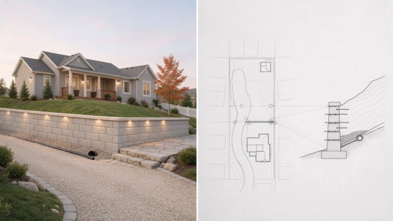
Richlands
Richlands Town planning and zoning standards apply to eligible municipal parcels and should not be confused with unincorporated Onslow County se…
Explore Richlands site plans ↗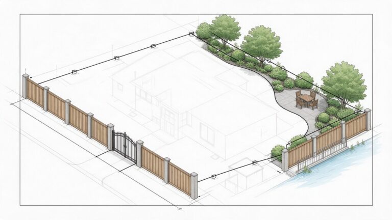
Maysville
Maysville is in Jones County, and municipal zoning considerations should be checked before applying a generic county-wide site-plan requirement.
Explore Maysville site plans ↗
Newport
Newport has its own municipal land-use responsibilities, while Carteret County permit rules govern many building construction approvals based on…
Explore Newport site plans ↗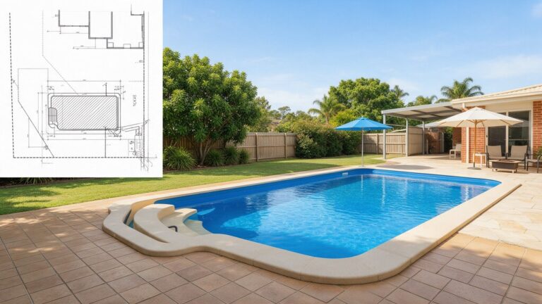
Atlantic Beach
Atlantic Beach requires current Town building-permit materials and states that new-construction plan submissions must include full-size drawings…
Explore Atlantic Beach site plans ↗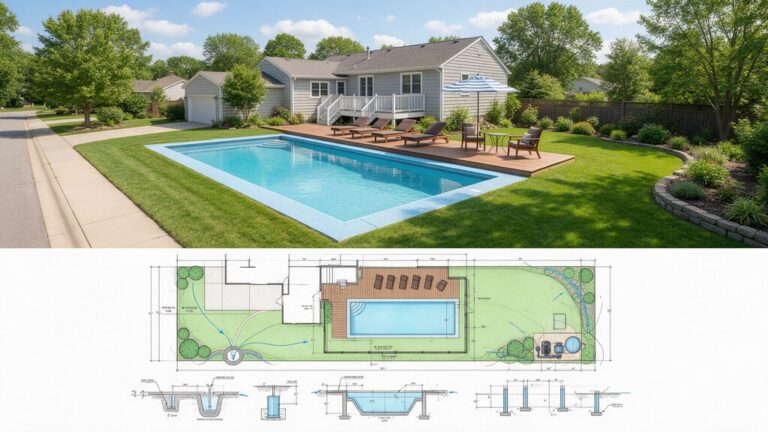
Emerald Isle
Emerald Isle's Planning Department publishes a Town development-permit application, stormwater checklist, dunes and vegetation guidance and CAMA…
Explore Emerald Isle site plans ↗
Indian Beach
Carteret County requires Indian Beach applicants to obtain Town planning, zoning and floodplain approval before County building-permit issuance.
Explore Indian Beach site plans ↗
Cedar Point
Carteret County identifies Cedar Point as a municipality where Town planning, zoning and floodplain review must precede the County construction …
Explore Cedar Point site plans ↗
Cape Carteret
Carteret County directs Cape Carteret property owners to obtain municipal zoning and applicable floodplain approval before pursuing County build…
Explore Cape Carteret site plans ↗
Bogue
Carteret County identifies Bogue as a municipality that must provide planning, zoning and floodplain approval before County building permits are…
Explore Bogue site plans ↗
Topsail Beach
Topsail Beach requires applicants to verify Town zoning and building development regulations before starting exterior construction on the barrie…
Explore Topsail Beach site plans ↗
North Topsail Beach
North Topsail Beach zoning and development rules require parcel-specific evaluation of coastal hazard, shoreline and floodplain conditions for a…
Explore North Topsail Beach site plans ↗
Calabash
Calabash maintains a certified coastal land-use plan and municipal zoning standards distinct from surrounding unincorporated Brunswick County pa…
Explore Calabash site plans ↗
Sunset Beach
Sunset Beach has Town coastal and land-use requirements; Brunswick County says its stormwater ordinance is administered by agreement in Sunset B…
Explore Sunset Beach site plans ↗
Ocean Isle Beach
Ocean Isle Beach has an adopted comprehensive CAMA land-use plan that informs municipal development and beach-area resource protection.
Explore Ocean Isle Beach site plans ↗
Holden Beach
Holden Beach maintains a certified CAMA land-use plan and has a local permit officer for applicable coastal development approvals.
Explore Holden Beach site plans ↗
Caswell Beach
Caswell Beach has its own coastal land-use plan and municipal development context, separate from Oak Island's zoning rules.
Explore Caswell Beach site plans ↗
Boiling Spring Lakes
Boiling Spring Lakes has a certified local land-use plan, and Brunswick County administers its stormwater ordinance in the city under an intergo…
Explore Boiling Spring Lakes site plans ↗
Navassa
Navassa is a Brunswick County municipality with distinct local land-use planning and development conditions that must be checked for the parcel.
Explore Navassa site plans ↗
Carolina Shores
Carolina Shores adopted a 2025 land-use plan certified in 2026, with local zoning and land-development conditions distinct from adjacent Calabas…
Explore Carolina Shores site plans ↗
Murphy
Site-planning context: river-adjacent parcels may need mapped floodplain checks and driveway grading.
Explore Murphy site plans ↗
Andrews
Site-planning context: survey contours and access are important when lots rise from local streets.
Explore Andrews site plans ↗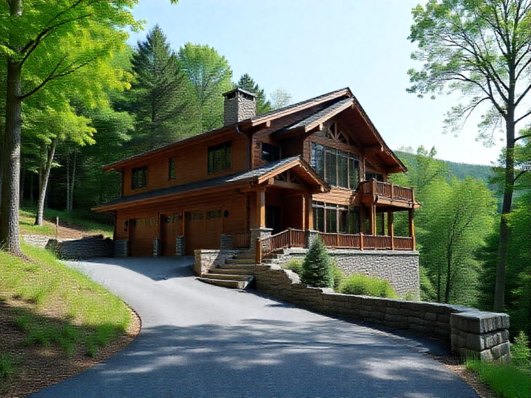
Hayesville
Site-planning context: shoreline-adjacent or hillside parcels can need site-specific easement and drainage verification.
Explore Hayesville site plans ↗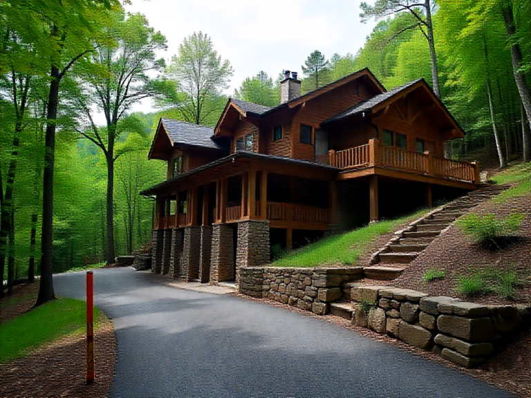
Robbinsville
Site-planning context: a buildable pad and private well or septic clearance may affect foundation placement.
Explore Robbinsville site plans ↗
Bryson City
Site-planning context: older downtown parcels differ from wooded slope building sites in their access needs.
Explore Bryson City site plans ↗
Cherokee
Site-planning context: tribal jurisdiction and land status can govern approvals rather than a routine county permit route.
Explore Cherokee site plans ↗
Clyde
Site-planning context: riverplain or stream proximity and existing wastewater facilities can alter lot design.
Explore Clyde site plans ↗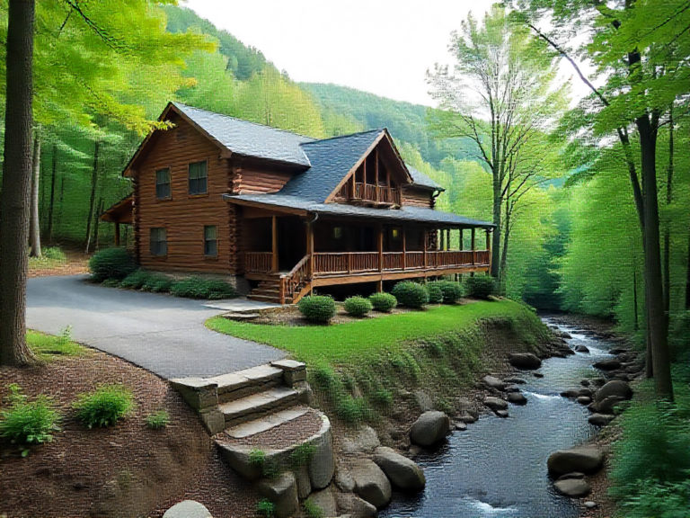
Maggie Valley
Site-planning context: hillside drainage and retaining walls require careful grade profiles if work affects slopes.
Explore Maggie Valley site plans ↗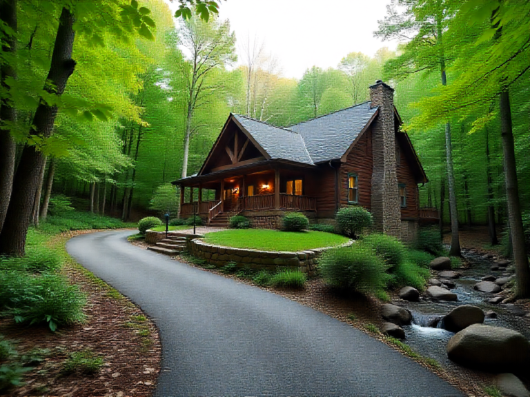
Highlands
Site-planning context: steep access grades and runoff paths can influence property placement.
Explore Highlands site plans ↗
Dillsboro
Site-planning context: historic district or river corridor constraints must be checked when applicable to a parcel.
Explore Dillsboro site plans ↗
Cashiers
Site-planning context: county-level development rules and private subdivision restrictions matter more than a presumed Town permit office.
Explore Cashiers site plans ↗
Cullowhee
Site-planning context: multiple dwellings and sloped hillside access call for parcel-based zoning and utilities checks.
Explore Cullowhee site plans ↗
Whittier
Site-planning context: the specific county line and river corridor determine reviewing agencies and mapped constraints.
Explore Whittier site plans ↗
Webster
Site-planning context: local preservation or steep-lot development conditions require confirmation for the actual parcel.
Explore Webster site plans ↗
Columbus
Site-planning context: driveway slopes and watershed protections vary with the parcel and proposed paved area.
Explore Columbus site plans ↗
Tryon
Site-planning context: steep landscape changes and historic buildings require a different approach from large rural acreage.
Explore Tryon site plans ↗
Saluda
Site-planning context: verify municipal limits and county for inspections before sizing a hillside foundation.
Explore Saluda site plans ↗
Lake Lure
Site-planning context: lakefront development and mapped shoreline conditions must be verified with the proper municipal office.
Explore Lake Lure site plans ↗
Rutherfordton
Site-planning context: downtown occupancy or parking changes differ from an ordinary residential property-line drawing.
Explore Rutherfordton site plans ↗
Spindale
Site-planning context: existing parking and utility connections matter in older infill properties.
Explore Spindale site plans ↗
Jefferson
Site-planning context: ridge access and winter weather exposure make site grades and structural connections important.
Explore Jefferson site plans ↗
West Jefferson
Site-planning context: commercial conversion in the central district can need parking and accessible route review.
Explore West Jefferson site plans ↗
Sparta
Site-planning context: larger rural lots can include septic fields and easements alongside proposed garage locations.
Explore Sparta site plans ↗
Lansing
Site-planning context: stream corridor and sloped building pads need lot-specific drainage evidence.
Explore Lansing site plans ↗
Wilkesboro
Site-planning context: downtown and highway-facing lots may have distinct site access or drainage issues.
Explore Wilkesboro site plans ↗
Taylorsville
Site-planning context: new hardscape can change grading toward neighbors and existing storm drains.
Explore Taylorsville site plans ↗
Hiddenite
Site-planning context: Alexander County and parcel plat govern review rather than an assumed Hiddenite Town office.
Explore Hiddenite site plans ↗
Love Valley
Site-planning context: very unusual town access patterns and land use require verifying current local rules.
Explore Love Valley site plans ↗
Troutman
Site-planning context: Town zoning approval differs from Iredell County Building Standards review for eligible parcels.
Explore Troutman site plans ↗
Harmony
Site-planning context: well or septic locations, parcel drive access and accessory building setbacks warrant survey review.
Explore Harmony site plans ↗
Claremont
Site-planning context: residential expansions and commercial upfits differ in applicable parking and review tracks.
Explore Claremont site plans ↗
Maiden
Site-planning context: county-specific inspection routing and separate utility approvals must be confirmed at the address.
Explore Maiden site plans ↗
Long View
Site-planning context: infill lots may have constrained side yards and existing utility easements.
Explore Long View site plans ↗
Catawba
Site-planning context: site access and river-related mapped flood conditions need parcel-specific review.
Explore Catawba site plans ↗
Connelly Springs
Site-planning context: grade transitions and recorded private access easements matter on sloping lots.
Explore Connelly Springs site plans ↗
Rutherford College
Site-planning context: campus-adjacent and residential parcels may follow different land-use conditions.
Explore Rutherford College site plans ↗
Hudson
Site-planning context: commercial corridor infill can require separate traffic/parking and building-code coordination.
Explore Hudson site plans ↗
Gamewell
Site-planning context: there is no separate Gamewell Town permit office; use the responsible county and any mapped site rules.
Explore Gamewell site plans ↗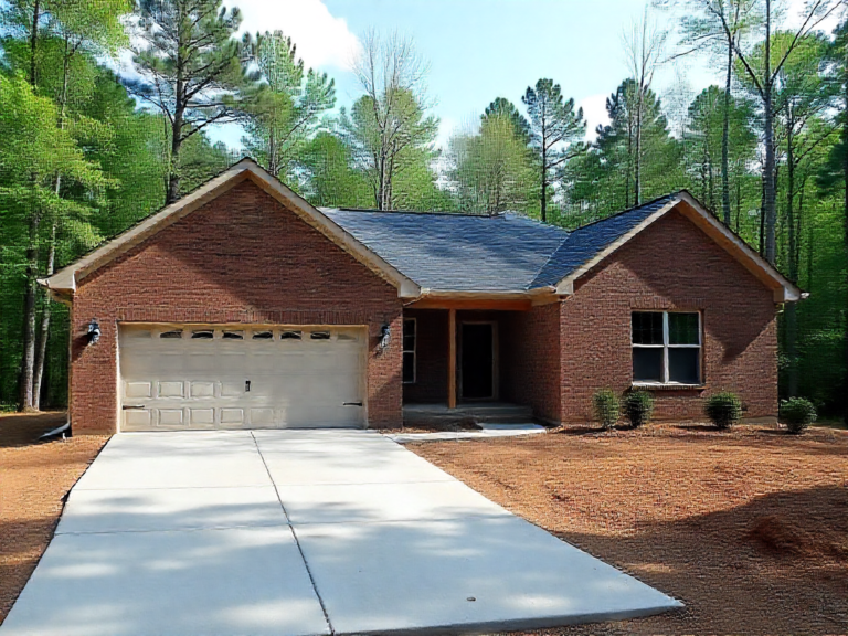
Drexel
Site-planning context: older lot layouts can have established structures close to property boundaries.
Explore Drexel site plans ↗
Hildebran
Site-planning context: separate driveway-access or utilities approvals may accompany a building footprint.
Explore Hildebran site plans ↗
Midway
Site-planning context: a homeowner should confirm Midway zoning jurisdiction and Davidson County permit routing before setting lot setbacks.
Explore Midway site plans ↗
Wallburg
Site-planning context: new deck and backyard pool proposals need separate site placement and structural safety documentation.
Explore Wallburg site plans ↗
Walnut Cove
Site-planning context: mapped creek or floodplain conditions can affect only certain parcels.
Explore Walnut Cove site plans ↗
Danbury
Site-planning context: steep wooded lots may require grade information and erosion control when land is disturbed.
Explore Danbury site plans ↗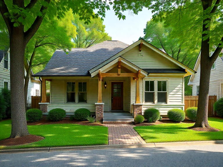
East Bend
Site-planning context: private well/septic and easement locations may constrain a new accessory building footprint.
Explore East Bend site plans ↗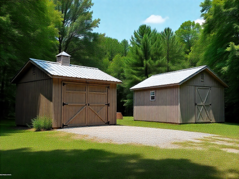
Jonesville
Site-planning context: commercial parking or site access changes may need separate land-use review.
Explore Jonesville site plans ↗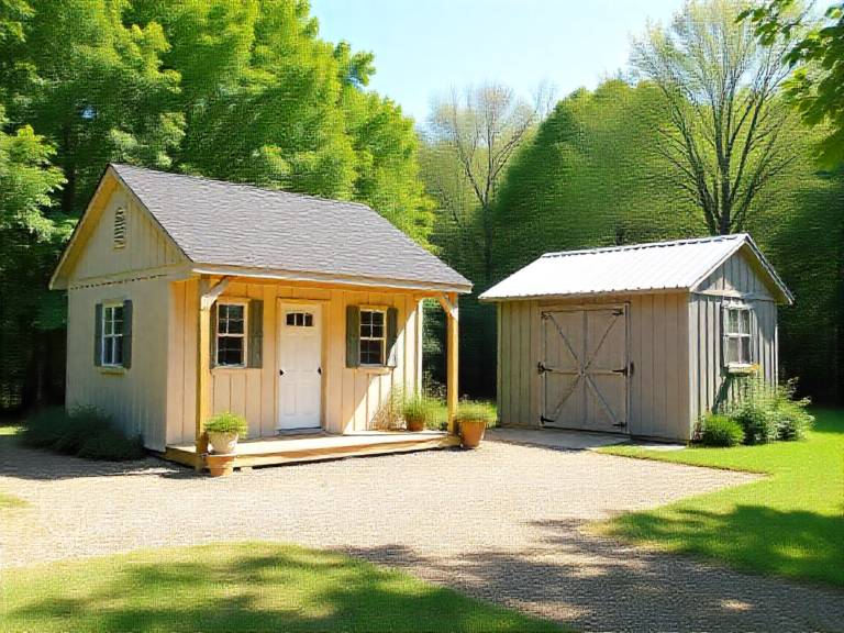
Boonville
Site-planning context: land subdivision and septic siting matter on larger farm-edge residential parcels.
Explore Boonville site plans ↗
Bermuda Run
Site-planning context: recorded neighborhood easements and HOA approvals are distinct from local construction permits.
Explore Bermuda Run site plans ↗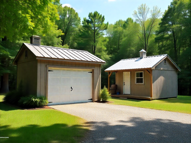
Cooleemee
Site-planning context: existing older houses or mixed-use lots may need detailed as-built information.
Explore Cooleemee site plans ↗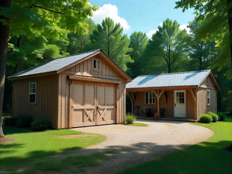
Advance
Site-planning context: county permitting and recorded subdivision conditions apply without a separate Advance municipal office.
Explore Advance site plans ↗
Trinity
Site-planning context: new front-yard paving and commercial changes can trigger different town site decisions.
Explore Trinity site plans ↗
Denton
Site-planning context: driveway grade and private wastewater arrangements can be material for new home plans.
Explore Denton site plans ↗
Jamestown
Site-planning context: infill lot design must consider current Town setbacks and any protected streetscape requirements.
Explore Jamestown site plans ↗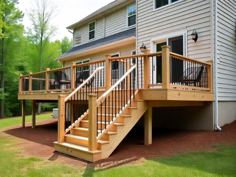
Whitsett
Site-planning context: commercial traffic and parking layout differ from a simple residential improvement.
Explore Whitsett site plans ↗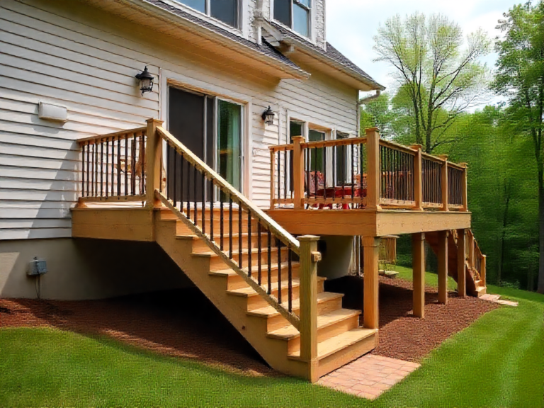
Pleasant Garden
Site-planning context: larger lawns and property drives still require accurate line setbacks and possible drainage review.
Explore Pleasant Garden site plans ↗
Staley
Site-planning context: agricultural lot edges, well/septic locations and driveway access affect rural home placement.
Explore Staley site plans ↗
Franklinville
Site-planning context: older structures and river-related parcel constraints require existing-condition measurement.
Explore Franklinville site plans ↗
Seagrove
Site-planning context: public-facing studios may have different accessibility, parking and occupancy considerations from private sheds.
Explore Seagrove site plans ↗
Robbins
Site-planning context: stormwater, driveway approach and private utilities may affect a proposed slab and site use.
Explore Robbins site plans ↗
Carthage
Site-planning context: established lot boundaries and utility connections should be reconciled before added covered area.
Explore Carthage site plans ↗
Candor
Site-planning context: agricultural-edge lots can have long private driveways and recorded utility easements.
Explore Candor site plans ↗
Mount Gilead
Site-planning context: older commercial and home sites need existing-building positions and current utility information.
Explore Mount Gilead site plans ↗
Foxfire Village
Site-planning context: private development covenants and municipal zoning approvals are separate considerations.
Explore Foxfire Village site plans ↗
Pinebluff
Site-planning context: new hardscape should account for lot grading and any applicable drainage restrictions.
Explore Pinebluff site plans ↗
Vass
Site-planning context: residential subdivision plats and street-front setbacks can shape new home layout.
Explore Vass site plans ↗
Cameron
Site-planning context: an older commercial building may need occupancy and accessible route drawings.
Explore Cameron site plans ↗
Biscoe
Site-planning context: commercial tenant plans must coordinate use, entrances and trade systems.
Explore Biscoe site plans ↗
Troy
Site-planning context: wooded lot drainage and private utility capacity may constrain a construction pad.
Explore Troy site plans ↗
Star
Site-planning context: land-use approval for an accessory building differs from an enlarged business occupancy.
Explore Star site plans ↗
Norwood
Site-planning context: lake-adjacent parcels require parcel-specific shoreline and floodway checks where mapped.
Explore Norwood site plans ↗
Hemby Bridge
Site-planning context: existing subdivisions may have recorded access easements and drainage facilities.
Explore Hemby Bridge site plans ↗
Unionville
Site-planning context: subdivision plat dimensions and septic fields where present affect new home footprints.
Explore Unionville site plans ↗
Midland
Site-planning context: county building permitting and local development controls need coordinated applications.
Explore Midland site plans ↗
Wesley Chapel
Site-planning context: recorded private covenants, landscape areas and drainage easements can restrict expansion.
Explore Wesley Chapel site plans ↗
Stanfield
Site-planning context: Stanly County centralized permitting handles building review while address assignment or local zoning can be separate.
Explore Stanfield site plans ↗
Marvin
Site-planning context: tree protection, recorded easements and neighborhood restrictions can affect home additions.
Explore Marvin site plans ↗
Marshville
Site-planning context: rail-area or downtown commercial improvements may need parking, circulation and occupancy consideration.
Explore Marshville site plans ↗
Wingate
Site-planning context: rental-conversion or accessory living uses require confirmation of the applicable zoning district.
Explore Wingate site plans ↗
Mineral Springs
Site-planning context: outbuilding setbacks, access drives and water or septic infrastructure need coordinated placement.
Explore Mineral Springs site plans ↗
Lake Park
Site-planning context: recorded covenants and stormwater facilities are important when expanding backyard paving.
Explore Lake Park site plans ↗
Earl
Site-planning context: residential accessory buildings require verifying Town land use and County construction approvals.
Explore Earl site plans ↗
Lattimore
Site-planning context: larger residential parcels can have private wastewater and utility setback constraints.
Explore Lattimore site plans ↗
Boiling Springs
Site-planning context: campus-adjacent rental or commercial improvements differ from detached residential additions.
Explore Boiling Springs site plans ↗
Cramerton
Site-planning context: river-edge sites may have mapped floodplain conditions while older lots require exact easement checks.
Explore Cramerton site plans ↗
McAdenville
Site-planning context: older streetscapes and established properties can call for existing-condition architectural elevations.
Explore McAdenville site plans ↗
Lowell
Site-planning context: mixed commercial and residential sites have different parking, access and use review demands.
Explore Lowell site plans ↗
Dallas
Site-planning context: property corners and alleys on older platted lots require close survey verification.
Explore Dallas site plans ↗
Stanley
Site-planning context: subdivision coverage, driveway arrangement and recorded easements may restrict additions.
Explore Stanley site plans ↗
Cherryville
Site-planning context: industrial-adjacent or mixed-use building work can need occupancy and parking consideration.
Explore Cherryville site plans ↗
Bessemer City
Site-planning context: a property zoning district and utility availability need validation before changing use.
Explore Bessemer City site plans ↗
Edenton
Site-planning context: historic district review and CAMA/floodplain checks can be distinct on affected properties.
Explore Edenton site plans ↗
Hertford
Site-planning context: river-related mapped flood elevations and municipal site standards require parcel review.
Explore Hertford site plans ↗
Manteo
Site-planning context: Manteo has its own municipal planning and building-permit route instead of the Dare County unincorporated process.
Explore Manteo site plans ↗
Kill Devil Hills
Site-planning context: Town building permits and coastal stormwater review may require elevation and lot-coverage detail.
Explore Kill Devil Hills site plans ↗
Kitty Hawk
Site-planning context: mapped hazard and coastal development rules vary between oceanfront and inland neighborhoods.
Explore Kitty Hawk site plans ↗
Nags Head
Site-planning context: municipal permitting and CAMA/flood elevation reviews are property-specific.
Explore Nags Head site plans ↗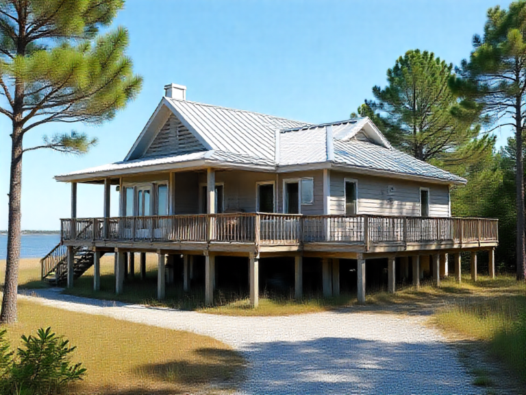
Duck
Site-planning context: municipal coastal land-use review must account for lot-specific shoreline or vegetation conditions.
Explore Duck site plans ↗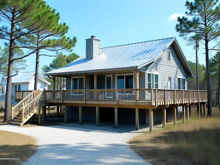
Southern Shores
Site-planning context: private roadway access, drainage and flood considerations may influence property plans.
Explore Southern Shores site plans ↗
Corolla
Site-planning context: Currituck County rather than a separate Corolla Town office handles relevant development reviews.
Explore Corolla site plans ↗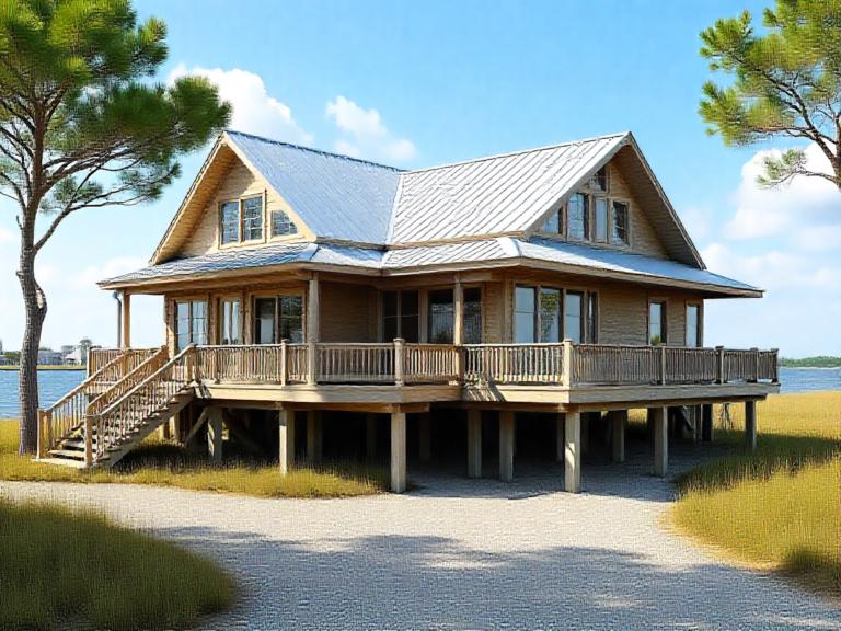
Buxton
Site-planning context: Dare County Frisco office serves Hatteras Island and property-specific CAMA/flood requirements may apply.
Explore Buxton site plans ↗Outside one of these cities?
If your property is elsewhere in North Carolina, we can review the request and confirm whether we can provide the appropriate drafting scope.
First, tell us the actual city or county jurisdiction. A mailing address does not always identify the correct permitting authority, especially for properties outside incorporated city limits.
We use the permit type, written checklist and property records to establish what belongs on the site plan. Where a local authority requires certified land surveying, engineering or other professional services, those must be handled separately.
We do not publish duplicated city claims or imply that every property follows the same statewide requirements.
What to send from anywhere in NC.
Site information
Full address and any existing survey, plat or plot plan.
Your planned improvement
A sketch showing approximate location, dimensions and type of project.
Reviewer guidance
Any checklist, zoning notes, correction letter or permit instructions.
Don’t see your city?
Share the North Carolina address and proposed work. We’ll help determine an appropriate site-plan quotation.