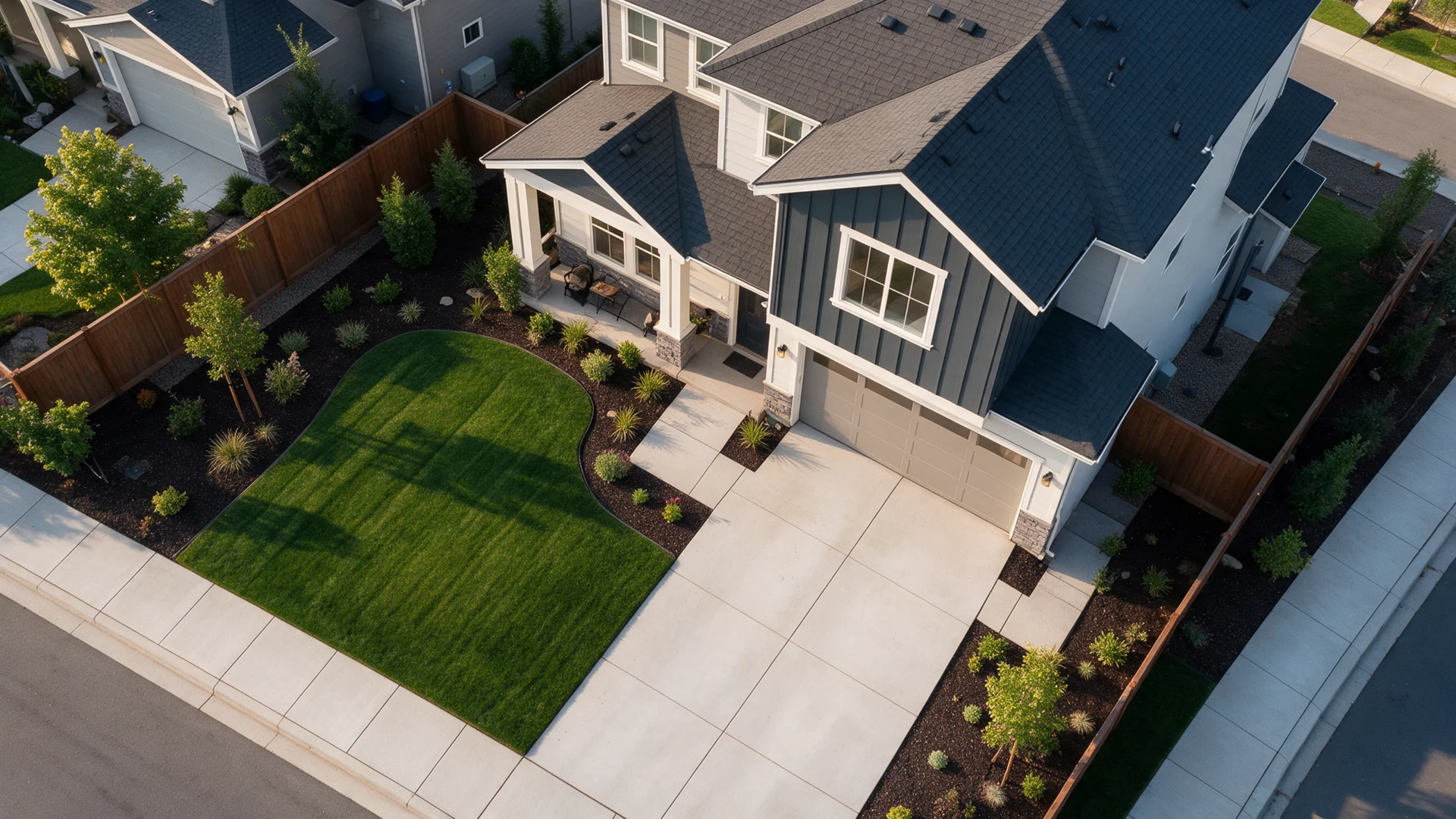
North Carolina Land Development Concepts
Land Planning & Subdivision Concept Plans in North Carolina
Preliminary parcel layouts, building envelopes, access concepts and subdivision planning exhibits for owners and development teams evaluating North Carolina land.
- Clear written sheet list
- Site and project details coordinated
- In-scope review comment support
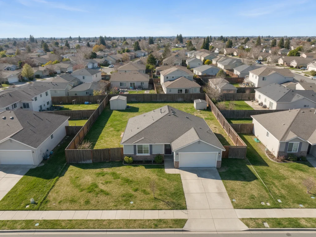
Explore land layout options before pursuing engineering and approvals.
Early planning benefits from clear parcel information, development objectives, zoning constraints and access possibilities. A concept exhibit helps stakeholders see where buildings, lots and common areas might fit.
We prepare preliminary site layouts from reliable available documents and identify planning or technical issues requiring a surveyor, land planner, civil engineer or municipal review before any subdivision or entitlement application.
What your land planning and subdivision drawing package can include
We define the actual drawings and documentation for your North Carolina project in writing. The examples below represent available scopes, not an automatic all-inclusive package.

Preliminary site and parcel layout
Illustrate existing property configuration and proposed uses.
- Existing parcel references
- Proposed building envelopes
- Setback and open-space context
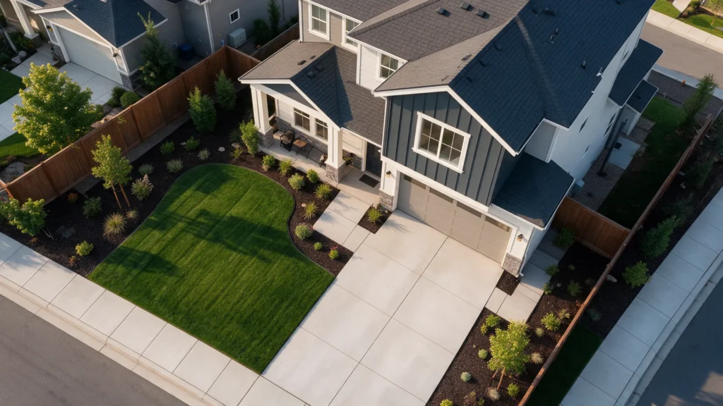
Access and circulation concept
Visualize roads, driveways and general site relationships.
- Preliminary access points
- Parking and circulation ideas
- Easement and utility corridors where known

Subdivision and development exhibits
Prepare discussion-ready alternatives and constraints notes.
- Concept lot arrangement
- Area and lot-count summaries
- Planning assumptions and constraints
Scope clarity: Land surveying, subdivision approval, traffic analysis, civil utilities and recordable plats are not included unless explicitly contracted. Your final written proposal identifies the drawings, file formats and exclusions.
Get a Written Scope ↗A practical sample drawing list for land planning and subdivision
An organized sheet list helps explain the work, clarify what belongs in the package and identify specialty items that may need separate documentation.
Example document titles only. The authority having jurisdiction and written scope determine the actual sheet list.
Project types we help document
Every project has different site constraints and drawing requirements. These are examples of common situations where this service may be helpful.
- Small-lot subdivision feasibility
- Cottage cluster preliminary layouts
- Conceptual infill and land-development sites
North Carolina review requirements depend on the site and work.
North Carolina subdivision ordinances, minimum lots, street standards and utility availability differ by municipality and county. Some projects require public hearings, approvals or formal platting.
Preliminary planning exhibits do not replace a boundary survey, recorded plat, engineering construction plans or local subdivision approval. We distinguish concept from licensed design and entitlement services.
Project-specific zoning, adopted code editions and plan review requirements must be confirmed with the city or county. See the North Carolina permit plan guide. Our drafting work is not a guarantee of permit approval or a substitute for surveying and independent licensed professional review where required.
From your project information to a coordinated drawing package.
Share property details
Send your address, dimensions, survey or plat if available, photos, sketches and written reviewer comments.
Confirm a written scope
We identify the necessary drawings, exclusions, licensed review needs, fees and expected schedule.
Review the drawings
Inspect the proposed plans and mark comments within the agreed work before finalizing.
Receive your package
Receive the agreed PDF set and optional CAD deliverables; permit approval rests with the jurisdiction.
Frequently asked questions about land planning and subdivision
Can you tell me how many lots I can legally subdivide?
We can prepare conceptual options using provided zoning assumptions, but a definitive legal lot yield requires local planning interpretation, boundary data and often civil engineering review.
Will you create the recorded subdivision plat?
A legally recordable survey plat is the responsibility of a licensed professional surveyor. Concept planning and recordable subdivision documents are separate.
Does this service include a survey?
A recorded plat or existing survey can be used as an input where appropriate, but boundary or topographic surveying is a separate professional service. The exact property documentation needed depends on the proposed work and jurisdiction.
Can the drawings be signed and sealed?
A North Carolina licensed architect or professional engineer may need to review, sign or seal portions of the work. Any required professional services must be specifically included in the proposal and accepted by that professional after independent review.
What if the permit reviewer requests changes?
Send written city or county comments. We assess corrections within the original contracted scope and identify extra services if the reviewer requires new disciplines, reports or changes to the original design. Permit approval remains with the jurisdiction.
Get a clear quote for your land planning and subdivision project.
Share the property address, proposed work and the information you have so far. We will identify the drawing scope and provide a project-specific proposal.
- Full North Carolina property address and permitting jurisdiction
- Approximate project dimensions and intended construction scope
- Available survey, plot plan, sketches or existing drawings
- Photos, applicable permit checklist and reviewer notes
Site Plans NC is operated by Site Plans LLC. Your quote will identify any professional review or sealing scope separately.
Request a project-specific quote
Send the essentials. No payment is required to ask for a quote.