See the plan.
Know what to expect.
Explore 12 carefully presented site-plan and permit-drawing examples for common North Carolina projects. Each shows illustrative project imagery and practical information about what a real drawing package may need.
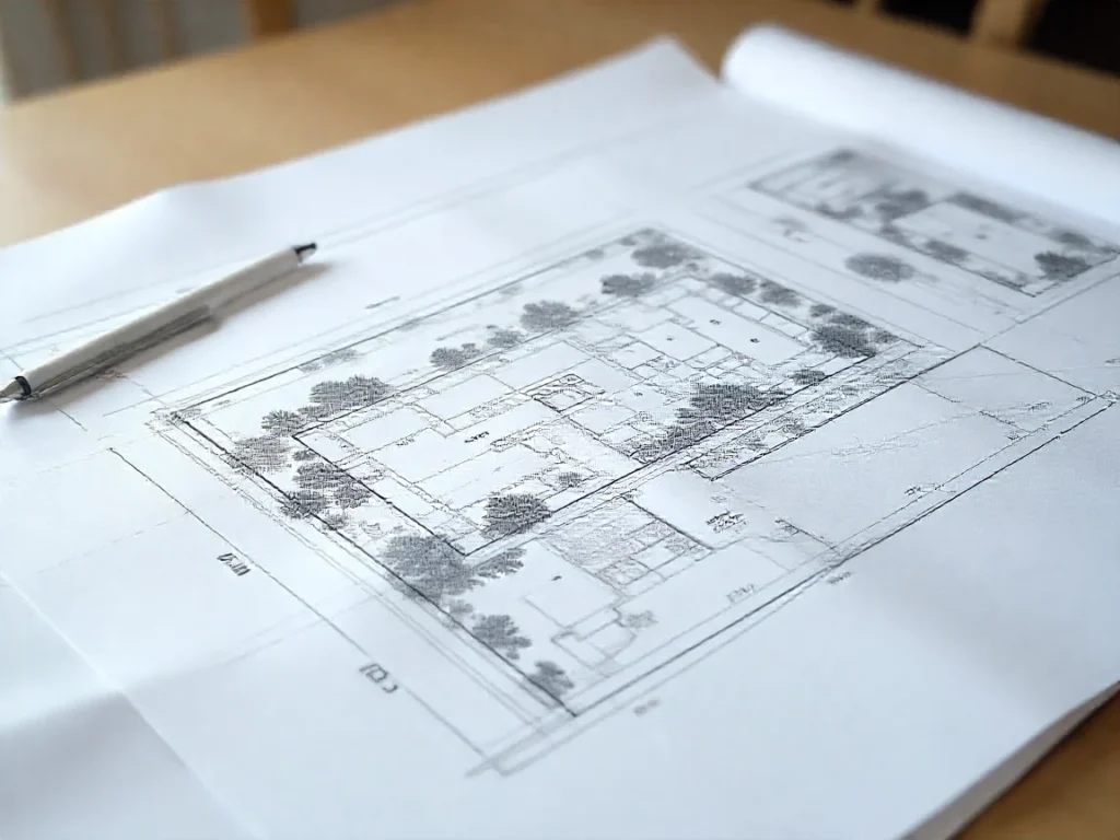
Project drawing types, explained visually.
Choose your project type to see a larger image, additional project imagery, typical drawing contents, required input documents and questions to resolve before filing. The gallery is educational; all proposals must be checked against the actual property and reviewer.
12 of 12 examples
ResidentialResidential Site Plan
A complete-lot view helps establish how existing buildings, property lines, driveway access and a proposed improvement fit together. This example focuses on visual hierarchy and source-document coordination.
Explore drawing example ↗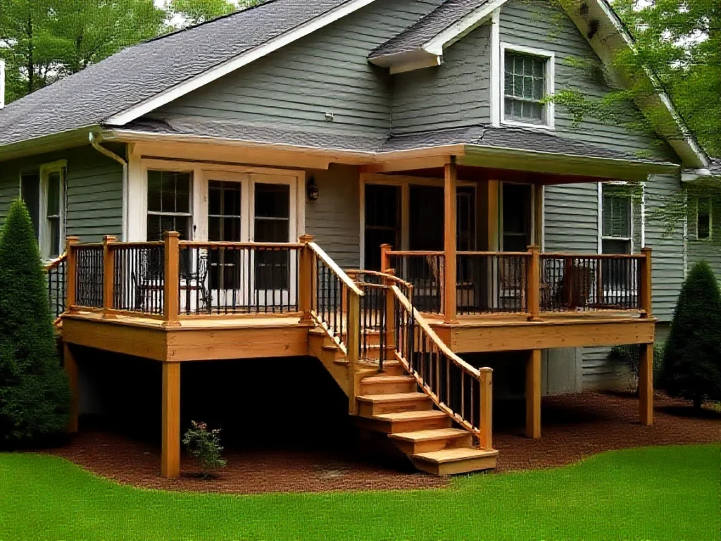 Outdoor
Deck and Porch Plans
The deck or porch location is only one part of the review. Access from the home, attachment to the existing structure, footing placement and differences between covered and uncovered spaces may all matter.
Explore drawing example ↗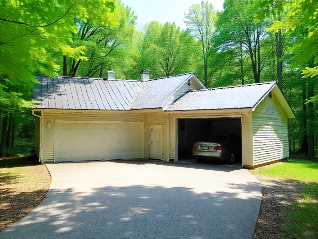 Accessory Structures
Garage and Workshop Plans
Detached accessory structures require accurate placement and may require their own foundation, framing, roof and trade layouts. This showcase demonstrates coordinating the whole-lot plan with a separate building package.
Explore drawing example ↗ Outdoor
Pool and Patio Site Plans
Pool plans need a coordinated layout of the pool shell, paved deck, nearby buildings and barriers. The illustrated site plan demonstrates how outdoor improvements interact with zoning, utilities and area calculations.
Explore drawing example ↗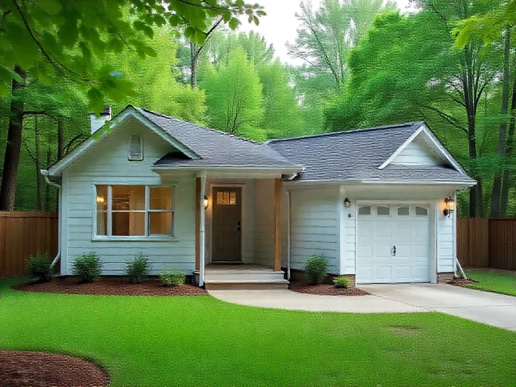 Home Expansion
ADU and Garage Conversion
An ADU or garage conversion changes more than an exterior footprint. Floor arrangement, use, utility service, access and life safety can drive a different permit package from a simple detached storage building.
Explore drawing example ↗ Home Expansion
Home Addition Permit Plans
A home addition requires one coordinated story across site placement, existing floor plan, proposed new rooms, roof geometry and structural load path. This gallery page explains what a complete drawing scope may include.
Explore drawing example ↗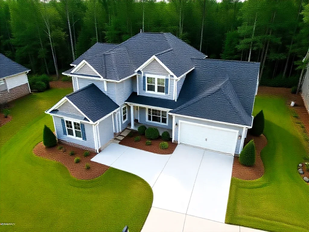 Site & Civil
Driveway and Parking Plans
Driveway and parking drawings connect on-site circulation to property lines, proposed pavement and sometimes local road-access approval. An aerial screenshot alone rarely captures all review questions.
Explore drawing example ↗ Site & Civil
Grading and Drainage Plans
A grading plan makes the relationship between building elevation, drive slope and stormwater flow easier to evaluate. It may require surveyed topography and civil engineering rather than only drafting.
Explore drawing example ↗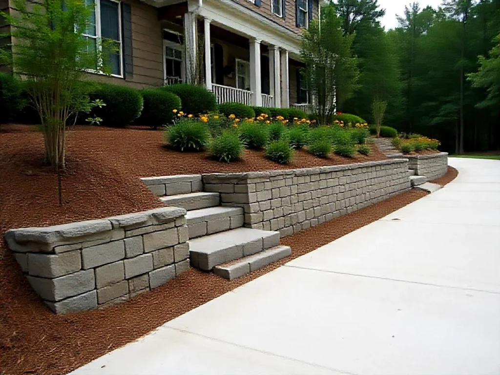 Site & Civil
Retaining Wall Plans
A retaining wall is both a property-layout feature and a structural system. Its height, drainage, surcharge and proximity to foundations can affect whether structural calculations and professional review are necessary.
Explore drawing example ↗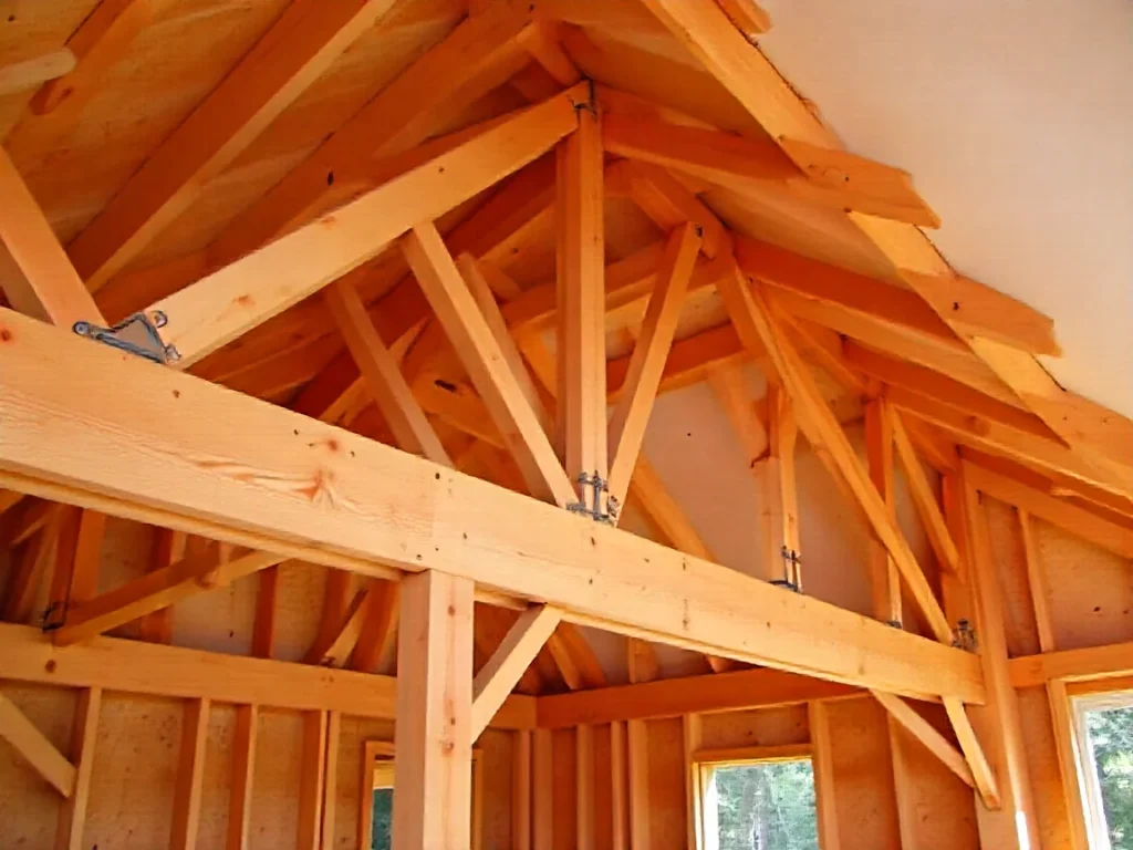 Engineering
Structural Framing Plans
Structural plan sets explain how loads pass through roofs, beams, posts, connections and foundations. They should be coordinated with architecture and site geometry and reviewed by licensed professionals whenever regulated.
Explore drawing example ↗ Commercial
Commercial Tenant Improvement
Commercial tenant improvements require coordination beyond the property outline: existing use, proposed occupancy, accessible routes, egress, fire protection and affected MEP layouts may all be relevant.
Explore drawing example ↗ Accessory Structures
Pole Barn and Metal Building
A post-frame or metal accessory building needs both correct parcel placement and reliable structural framing information. The site plan and construction set should reference the same size, access and intended use.
Explore drawing example ↗No matching drawing type. Try a different category or search.
A good drawing tells a complete site story.
The correct drawings depend on the project, but clear permit packages commonly explain where work is located, what already exists and how the proposal affects surrounding property and buildings. The most valuable sheets answer real reviewer questions instead of adding decorative pages.
Show the existing building, lot boundaries, driveway and other features from dependable records. A satellite image is not a certified boundary survey.
Separate new construction from existing conditions. Clearly locate additions, decks, garages, pools and any altered access.
Use measurements and area schedules that are correct for the jurisdiction and the proposal, including easements and relevant overlays.
Where needed, coordinate floor plans, elevations, framing, foundations and connection details with the site footprint.
Grading, drainage, utility placement, accessibility and trade drawings may be separate services depending on the project.
Match drawing notes, sheet numbers and project dimensions, and respond to formal corrections without mixing outdated versions.
From property information to drawing package.
Property documents
Send the project address, existing survey or plot plan, and current permit-review comments.
Proposed improvement
Identify what is being built, altered or legalized, with dimensions and photographs.
Drawing scope
Choose site-only drafting or a broader architectural, structural and trade package as required.
Review and corrections
Check dimensions and sheet coordination, then handle requested changes within the agreed work.
Illustrative examples, not borrowed approvals.
The visualizations were generated to explain types of construction, and the additional visuals are conceptual project representations. They do not depict verified completed Site Plans NC client jobs and they do not represent city-issued permits, legal surveys or approved professional engineering documents. If you would like a genuine completed-project case study with an approved PDF, that requires a verified, shareable project record.
Open a project type to learn how its site plan, possible construction sheets and source documents fit together.
Every detail page lets you enlarge the illustration or conceptual drawing, with zoom controls and an original-file link.
Use the examples as a starting point. Your real parcel and the reviewing authority determine the drawing content and required professionals.
Frequently asked questions.
Can I submit these example drawings to a North Carolina city?
No. The graphics are educational. A permit drawing must be prepared for the actual parcel, proposed work and reviewing authority. Some documents also require licensed professionals.
Do the project pictures show finished Site Plans NC client jobs?
No. They are illustrative concept images selected or generated for the gallery. We do not present them as independently verified completed projects.
What can I receive with a site-plan-only order?
Typical site-plan drafting can depict the survey-based lot, existing and proposed improvements, setbacks and relevant labels. The exact PDF/DWG deliverables and additions to the scope are confirmed with your quote.
Can you also prepare construction sheets for decks, additions or garages?
We can scope architectural, structural, framing or applicable MEP documentation where required, with professional review or sealing separately arranged when appropriate.
What if the building department returns corrections?
Send the written correction letter and marked PDF. The required work can then be evaluated as an original-scope revision or an additional survey, engineering or discipline requirement.
Request drawings based on your real property.
Share your address, proposed structure, source survey or plat, photos and reviewer comments. We will help define the drawing package before work begins.