North Carolina Setbacks and Easements: How to Check Where You Can Build
A practical process for verifying front, side, and rear setbacks alongside easements and recorded lot restrictions.
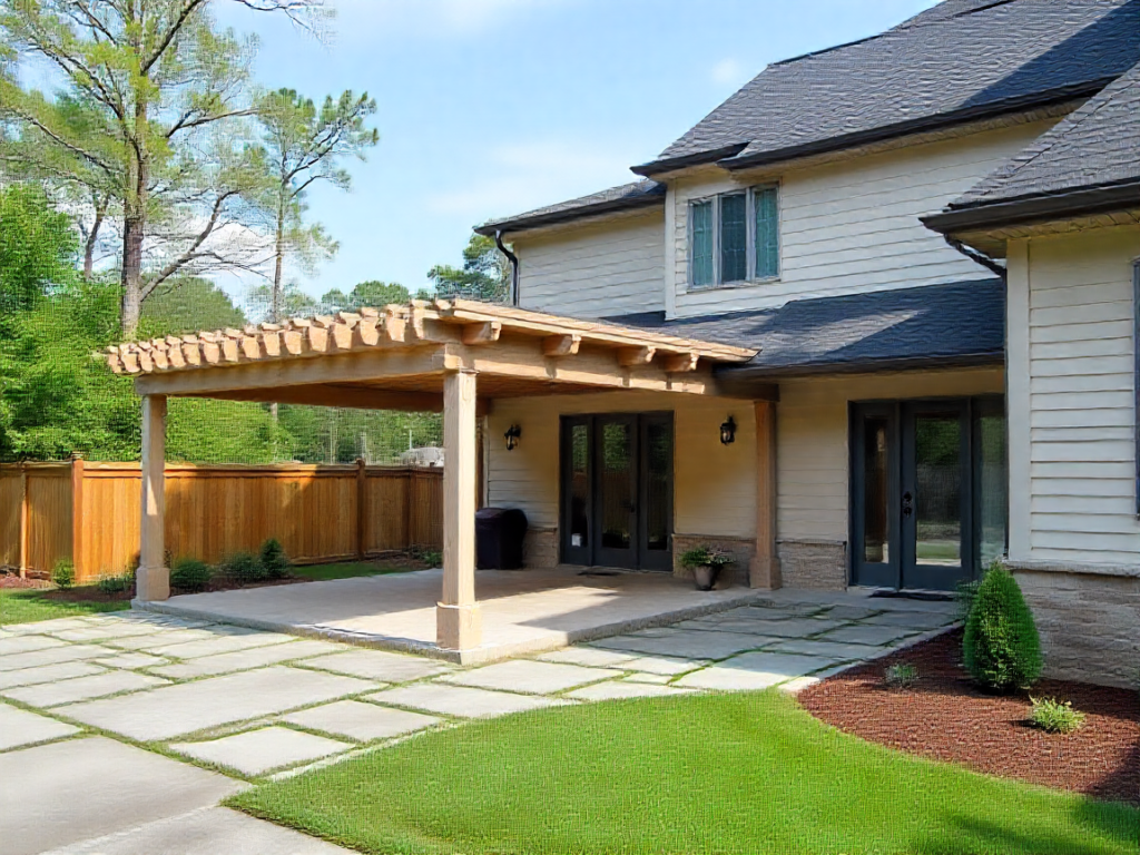
The clear space around a proposed structure is often more complicated than measuring from a fence. Property-line setbacks, easements, road rights-of-way, utility corridors and subdivision rules can all influence where work may be allowed. These are separate questions, and a clean site plan should make that distinction visible.
What you’ll learn
- Start with the correct zoning jurisdiction
- Setbacks are measured from legal property references
- Understand what an easement changes
- Watch for overlays and special site conditions
01. Start with the correct zoning jurisdiction
North Carolina jurisdictions do not apply one statewide yard setback to every lot. A parcel may lie inside municipal limits, a town's extraterritorial jurisdiction or unincorporated county territory. The mailing address may identify the nearest city without establishing which planning rules govern the property.
Look up the parcel in the current official GIS or zoning map and confirm the district with the planning office. Then read the district-specific dimensional standards and any applicable overlay. A home addition, detached workshop, fence and commercial building can be treated differently under a local ordinance.
02. Setbacks are measured from legal property references
Front, rear and side setbacks are often measured from property boundaries or defined street/right-of-way lines using the local ordinance's measurement rules. A front fence or curb is not necessarily a property boundary. Corner lots, irregular lots and multiple street frontages can make the front or side classification less obvious.
Show both the existing home and proposed improvement against the same baseline survey. Label the distances from new construction to the relevant property lines. If the zoning rule measures a feature differently—for instance eaves, unenclosed steps or certain accessory structures—confirm that definition rather than extrapolating from the main wall.
03. Understand what an easement changes
An easement may reserve a strip of land for utilities, drainage, shared access or other defined purposes. A building might comply with the zoning setback but still conflict with an easement. The legal terms of the recorded easement determine permitted uses; merely drawing it on the plan does not grant permission to occupy it.
Survey notes, subdivision plats, recorded deeds and utility documents can help identify easements. Some are not apparent from the street. Ask the appropriate professional or holder before planning footings, retaining walls or paving inside or near these areas, and note any restrictions requiring separate consent.
04. Watch for overlays and special site conditions
A zoning map is only one layer. Historic districts, flood hazard areas, water-supply watershed protections, stream buffers, steep-slope development rules and subdivision restrictions may also affect a proposed footprint. A parcel close to a lake or creek deserves a careful site-specific assessment.
Private homeowners' association rules and deed restrictions can differ from public zoning. Public permit approval also does not automatically waive private covenants. Check the current governing documents if the lot is in a planned subdivision.
05. How to mark a setback exhibit
Begin with the legal parcel outline and a north arrow. Add dimensioned existing structures, the proposed footprint, driveway and any recorded easements. Label front, side and rear setback lines as required by the reviewer. Make it easy to distinguish measured existing distances from proposed offsets.
If a property has an unusual shape, provide a detail or a larger-scale inset instead of squeezing unclear labels around a narrow side yard. Write down the governing zoning district and date the reviewer confirmed its standards. A missing source should be labeled for confirmation—not quietly invented.
06. Before committing to a contractor
Ask the planning office whether the structure type and building height alter yard requirements. Check existing encroachments, whether any variance or administrative exception is being pursued, and who will document the requested approval.
Keep the zoning clearance separate from the building permit. The building reviewer may still need structural, electrical, plumbing or mechanical drawings, and site work may also trigger erosion or driveway authorizations.
Questions homeowners ask
Can I build right up to my fence?
Not necessarily. A fence may be inside a legal boundary or mark a shared feature. Confirm the surveyed property line and local development rules.
Is a utility easement the same as a zoning setback?
No. Setbacks arise from land-use regulations; easement rights arise from recorded or otherwise valid legal interests. Both can affect usable building space.
Can my HOA approve a plan the city rejects?
Private approvals and government permitting are separate. Obtain each required authorization and avoid assuming one replaces the other.
Official sources and further reading
Information reviewed October 2026. Rules, thresholds and submission formats may change. Verify your address and proposed work with the controlling permit authority. A drafted site plan is not a certified property survey or a guarantee of approval.
A practical method for checking setbacks and easements
Determine zoning before measuring
Start with the legal parcel, street frontage and zoning district. A corner lot can have more than one street-facing yard, and special overlays can impose requirements different from the base zoning. Check the jurisdiction's current ordinance for front, side, rear and accessory-structure rules. Do not copy dimensions from a neighboring lot because the parcel geometry or permitted use may differ.
Measure from the correct boundary
Setbacks often depend on the structure type and the features counted as part of the building. Ask whether stairs, eaves, porches, detached structures or raised platforms are measured differently. Show distances on the plan where the proposed improvement comes closest to the relevant lot line. If the recorded survey lacks field evidence for a boundary, obtaining a qualified survey is safer than estimating from a fence.
Separate setbacks from easements
A legally required building setback and a recorded utility, access or drainage easement solve different problems. A structure might meet minimum zoning setbacks yet obstruct utility access or fall inside a drainage corridor. Locate easements from a title commitment, recorded plat or survey and ask the appropriate holder or jurisdiction for clarification. Do not assume a local zoning officer can waive a separate property right.
Understand other placement restrictions
Floodplains, buffers, tree-protection areas, stormwater facilities, septic systems and rights-of-way can affect a building envelope. Coastal parcels may have additional approvals. Treat these constraints as overlays on the base site plan instead of trying to solve the project with one setback measurement. Bring unusually constrained parcels to a planner or engineer before purchasing detailed plans.
A useful site-plan annotation scheme
Provide a north arrow, surveyed property geometry, proposed building footprint, existing structures and clear offset dimensions. Label front, rear and side yards if ambiguous; identify easement widths and source records. Use readable legends for existing and proposed work. Add a note when a dimension is preliminary, rather than implying it is a field survey measurement.
What to do when the structure does not fit
First verify the measurements and the actual ordinance. Consider repositioning, rotating, reducing the footprint or modifying roof projections before assuming a variance is needed. Where relief may be appropriate, ask the jurisdiction about its formal process; approval is not automatic. Reconcile every updated drawing once the site layout changes.
Sources and further reading
Review official North Carolina guidance and confirm the current jurisdiction-specific requirements before applying. Related: drawing services, North Carolina service areas and project quote requests.
Continue with a related guide

CAMA and Coastal Site Plans in North Carolina: What to Check Before You Build
CAMA Areas of Environmental Concern, flood elevations, site coverage and permit drawings for NC coastal property.

North Carolina New Home Permit Drawings: From Site Plan to Construction Set
See which sheets a new NC house may need and how to coordinate zoning, foundation, structural, MEP and site work.
Lot Coverage vs. Impervious Surface in NC: How to Calculate Both
Learn why building coverage, impervious area and NCDEQ built-upon area are different—and how to calculate site totals.
Planning work on a North Carolina property?
Send the location, survey or plat, project size and city comments. We’ll identify the drafting scope before you commit.