Residential Site Plan Example
A complete-lot view helps establish how existing buildings, property lines, driveway access and a proposed improvement fit together. This example focuses on visual hierarchy and source-document coordination.
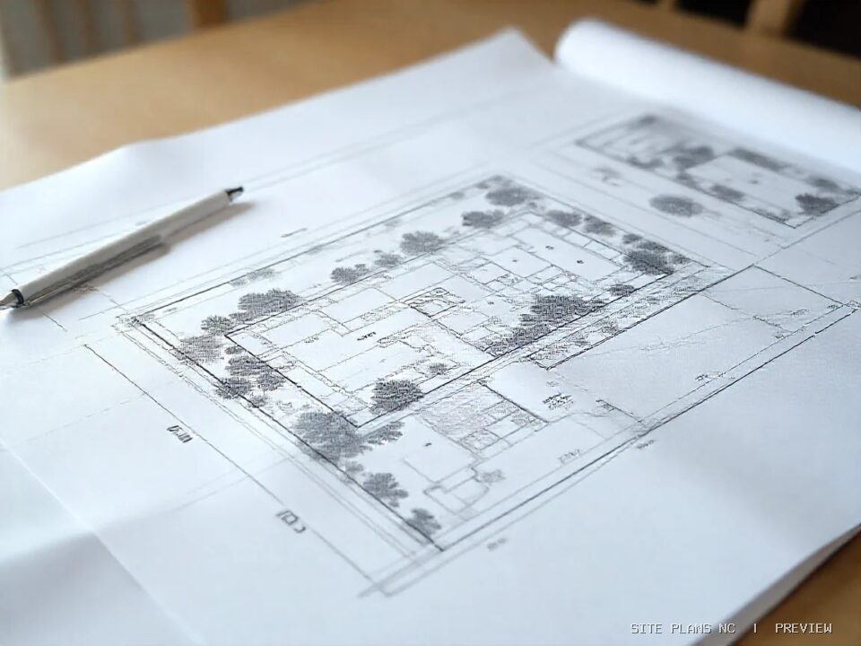
Understand the picture.
Then understand the plan.
This is a conceptual project-type showcase. The images are illustrative concept representations created to explain the project type. Neither is a property survey, professional calculation, real client construction record or city-approved submission.
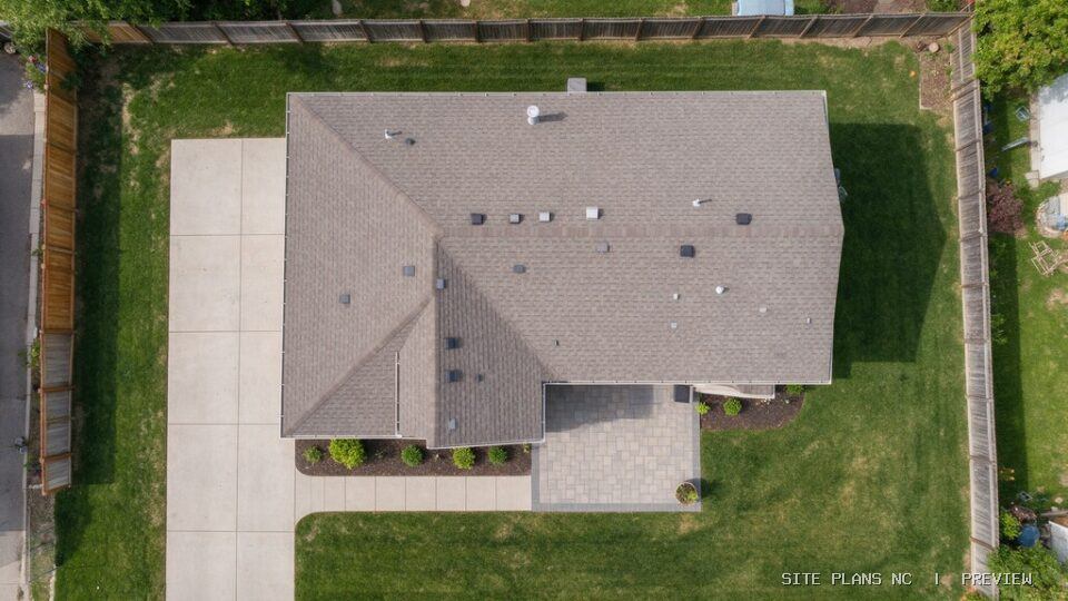
What a project-specific plan may include
An owner wants to show a proposed backyard structure without losing important information about the house, road access, existing paving or recorded easements. The actual deliverables depend on the reviewing authority’s current requirements and the verified site records.
- Property outline, north arrow and a consistent drawing scale based on reliable source information.
- Existing residence, garage, driveways and other site features marked separately from new work.
- Proposed footprint, placement and offsets referenced to the survey or plot plan.
- Site-data table with existing versus proposed coverage where the reviewer asks for it.
- Recorded easements, utility lines and other constraints included only from suitable source documents.
- Permit notes and a concise drawing index when the site plan is part of a larger package.
Important details reviewers may check
Common coordination questions arise from incomplete property information or changes to the design. These examples explain what to verify early.
Aerial property outlines do not certify boundary locations. Missing or uncertain survey data should be resolved with a licensed surveyor where required.
The same building footprint must be shown consistently on the site plan and architectural sheet. Contradictory dimensions commonly slow coordination.
Zoning setbacks and coverage definitions can differ across jurisdictions; do not substitute generalized statewide numbers.
From concept to coordinated drawing package
Confirm
Establish existing conditions from the provided property documentation and separate observed conditions from certified measurements.
Draw
Draw the improvement on its intended side of the property and label its relationship to the current house and road.
Coordinate
Prepare one coordinated sheet that reviewers can compare with the broader construction plans.
Reviewer notes
Check the final documents for consistent areas, dimensions and sheet references. If the jurisdiction issues comments, evaluate the actual requested corrections before resubmission.
Frequently asked about Residential Site Plan
Can a property map replace a survey?
Not when the authority requires certified boundary evidence. GIS and aerial screenshots are useful orientation tools but do not certify legal corners.
Does this include structural drawings?
Not automatically. A site plan and building construction details are different deliverables; the required combination depends on the project and city.
What happens if I only know approximate dimensions?
We can prepare preliminary layout options, but the final submission must rely on sufficiently reliable measurements and the applicable permit requirements.
All visual examples are educational. They do not certify boundary locations, structural safety, flood elevations or compliance with a particular North Carolina permit application. Use current official requirements and appropriately licensed professionals wherever required.
Other project examples
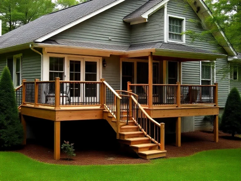 Deck and Porch Plans ↗
 Garage and Workshop Plans ↗
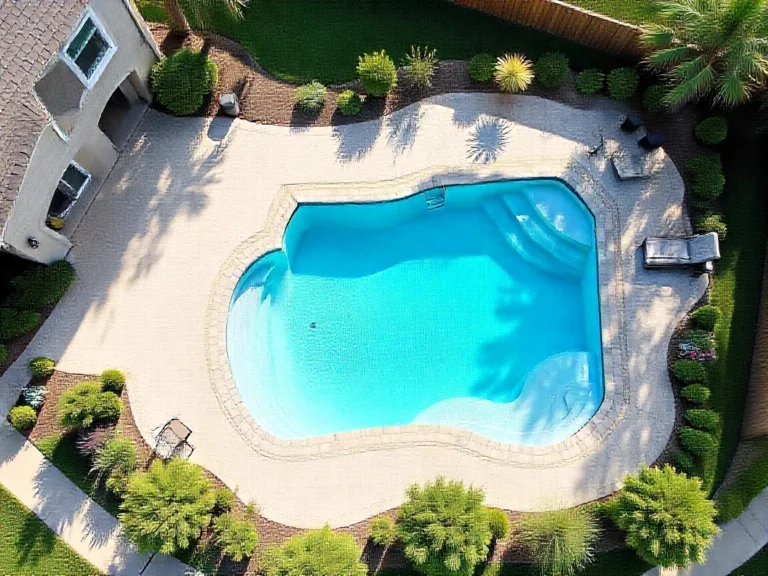 Pool and Patio Site Plans ↗
For permit jurisdiction context, see the Raleigh Site Plans & Permit Drawings guide ↗.
Need this type of drawing for a real project?
Tell us the property address, proposed dimensions, available survey and any building-department comments. We can define the necessary site-plan and related drawing deliverables.