How to Get a Site Plan for a Building Permit in North Carolina
Most North Carolina building permit site plans begin with a property record and a clear description of what will be built. The required level of detail changes by city, county, structure and site conditions. Rather than copying a generic sample, use the sequence below to collect accurate data, check placement constraints and create a drawing reviewers can evaluate.
Request a project quote →- Step 1: identify the actual permitting jurisdiction
- Step 2: collect a survey, plat or acceptable base map
- Step 3: define existing and proposed site conditions
- Step 4: check setbacks and other limits
- Step 5: assemble the drawing and area schedules
- Step 6: determine whether other plans are required
- Step 7: submit a coherent permit package
- Step 8: respond to comments and track revisions
- Simple pre-submission checklist
Step 1: identify the actual permitting jurisdiction
The mailing address alone does not always tell you which government reviews the proposed construction. Verify whether the parcel is within city limits, an extraterritorial jurisdiction or an unincorporated county area. Identify the zoning authority and building inspection department; they may be separate offices. Ask which application category covers the project and where the latest document checklist is published.
For larger cities such as Raleigh, the permit portal and project-specific checklists explain required submission documents. Other towns may handle plan review through the county or another platform. Use the actual authority's current instructions before deciding the sheet format or number of drawings.
Step 2: collect a survey, plat or acceptable base map
A current boundary survey is ideal for precise building placement. If only an older plat is available, determine whether the reviewing office accepts it and whether significant improvements have changed since that document was prepared. Confirm parcel dimensions, north direction, known easements, rights-of-way and lot area. Do not copy precise setbacks from approximate GIS overlays and present them as field measurements.
If a certified survey is required, hire an appropriate North Carolina licensed land surveyor. Drafting a site plan from existing information is a different professional service. Keep the original survey intact and draw proposed features on a separate, clearly labeled site-plan sheet or authorized working base.
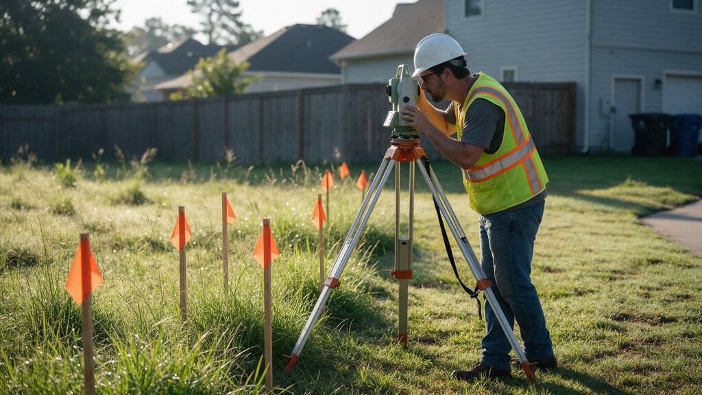
Step 3: define existing and proposed site conditions
Show the existing principal residence, garages or accessory buildings, driveways, sidewalks and other relevant permanent improvements. Mark the proposed structure with exterior dimensions, orientation, approximate site position and distances to the boundaries most relevant to compliance. Include entrances, steps, walks and roof projections if the jurisdiction requires their measurement.
A useful drawing legend distinguishes existing from proposed construction. Add a title, property address, north arrow, scale, dimensions, source information and date. Identify what measurements have not been verified instead of suggesting unfounded precision.
Step 4: check setbacks and other limits
Identify front, rear and side yard requirements for the actual zoning district. A corner lot can have additional street-facing conditions. Accessory structures, uncovered decks and roofs may be measured differently, so ask the reviewer which portions of the improvement count. Review recorded utility and drainage easements separately from zoning setbacks.
Other site constraints can include flood hazards, septic systems, stream buffers, tree regulations, driveway access and local impervious-surface limits. Resolving these questions before final drafting can avoid expensive structural redesign later.

Step 5: assemble the drawing and area schedules
Use a legible, consistent scale rather than shrinking the entire property until dimensions are unreadable. Show property lines and proposed placement with enough contextual features for review. Where applicable, calculate existing and proposed building coverage, impervious area, disturbed area and driveway or access changes. Label units and formulas to allow the reviewer to follow your calculation.
Coordinate the footprint with architectural and foundation plans. If the site plan says 20 by 24 feet and the foundation drawing says 22 by 24 feet, the permit set needs correction. Different drawings should tell one consistent story.
Step 6: determine whether other plans are required
A site plan describes where construction will occur, but a building permit may also require architectural plans, elevations, foundation and framing details, MEP plans or structural calculations. Grading and erosion-control requirements may apply to more involved sites. Do not assume the property-layout drawing alone satisfies a complete residence, enclosed addition or commercial project.
Confirm which professionals must prepare or review particular sheets. A licensed surveyor's boundary work, licensed engineer's technical design and a drafting company's site plan are related but legally distinct services. Request the appropriate discipline instead of asking one drawing to certify everything.
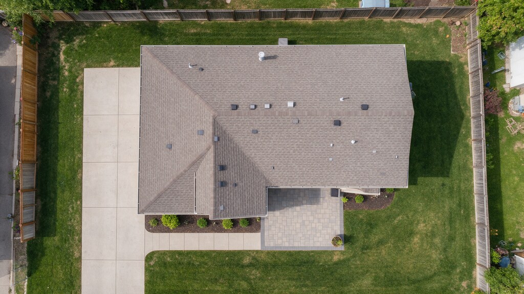
Step 7: submit a coherent permit package
Follow the agency's portal or email instructions, supported file type and sheet size, naming rules and permit forms. Register the applicant or contractor information required by the jurisdiction. Include supporting surveys, applications and approvals in the requested format. On Raleigh projects, the city provides a Residential Tier One Site Plan Checklist among its development forms.
Check that every sheet uses the same project address, owner information, revisions and exterior dimensions. Put the required data on the drawing itself instead of assuming the reviewer will find it somewhere in a long email attachment.
Step 8: respond to comments and track revisions
A plan-review comment is a specific information or compliance request, not necessarily a full rejection of the project. Record the exact wording, affected sheet and design response. If the revision shifts a building, review setback notes, grading, drainage, utility paths and related structural sheets. Use revision dates and replace superseded files clearly.
The reviewing authority decides whether the submission meets its requirements. A drawing company may support corrections, but it cannot promise approval or replace required zoning, survey or licensed design determinations.
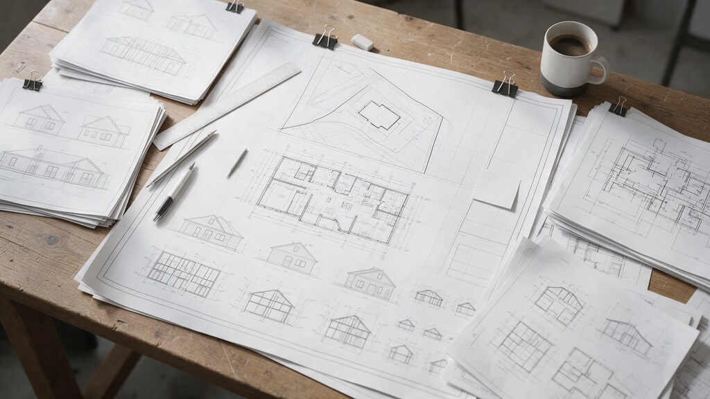
Simple pre-submission checklist
Confirm the property and authority; verify acceptable survey evidence; label the proposed dimensions; show relevant setbacks, access and easements; reconcile the building footprint; include area calculations where requested; add engineering and architectural sheets if necessary; and follow the portal's document requirements. If any item remains uncertain, contact the relevant plan reviewer before submitting.
Sending your property address, survey, a marked sketch and any city comments is usually enough to begin a meaningful drawing-scope discussion with Site Plans NC.
Official references
Requirements vary by project and jurisdiction. Consult the latest local checklist and these primary sources:
Ready to prepare the property drawing?
Send the property address, proposed dimensions, survey or plat, and any written permit comments. We will review the scope before quoting.
Request your site-plan quote →